Earthquake WESTERN AUSTRALIA
Thu, 15 Jan 2026 02:10:09 GMT
Time1 month ago
Location
-30.7800, 121.5200
Depth
2.0 KM
Event Summary
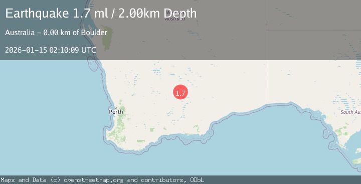
A 1.7 magnitude earthquake struck on WESTERN AUSTRALIA, at Thu, 15 Jan 2026 02:10:09 GMT. Depth: 2km. Reviewed by AUST seismologists, this minor quake occurred at a magnitude type of ml.
Magnitude
1.7
ml
Source
AUST
Intensity
-
Agency Reports
1 Sources| Source | Magnitude | Depth | Time |
|---|---|---|---|
| AUSTPrimary | 1.7 | 2 km | 1 month ago |
Earthquake Details
AutomaticEvent IDemsc_AUST_20260115_0000025
Tsunami PotentialNo
Magnitude Typeml
Nearest Places
- Trafalgar0.8 km
- Great Boulder Mine0.9 km
- Lake View Mine1.1 km
- Blue Gap Mine1.1 km
- Oroya South Mine1.2 km
Comments
Join the discussion about this event.
Latest Earthquakes
1.8Mag
Central Alaska
Time13 hours ago
Depth0.00 km
SourceVYT (Automatic)
2.5Mag
Java, Indonesia
Time13 hours ago
Depth19.23 km
SourceBMKG
2.4Mag
Ceram Sea
Time13 hours ago
Depth14.67 km
SourceBMKG
2.2Mag
Sweden
Time13 hours ago
Depth0.00 km
SourceVYT (Automatic)
1.5Mag
Southeastern Alaska
Time13 hours ago
Depth0.00 km
SourceVYT (Automatic)
Nearby Earthquakes
1.8Mag
Western Australia
Time4 days ago
Depth0.00 km
SourceVYT (Automatic)
1.5Mag
Western Australia
Time5 days ago
Depth0.61 km
SourceVYT (Automatic)
2.7Mag
WESTERN AUSTRALIA
Time1 month ago
Depth9.00 km
SourceAUST (Automatic)
3.0Mag
WESTERN AUSTRALIA
Time1 year ago
Depth3.00 km
SourceAUST (Automatic)
3.0Mag
WESTERN AUSTRALIA
Time3 years ago
Depth5.00 km
SourceAUST (Automatic)