Earthquake WESTERN AUSTRALIA
Tue, 13 Jan 2026 02:35:16 GMT
Time1 month ago
Location
-30.7700, 121.4700
Depth
9.0 KM
Event Summary
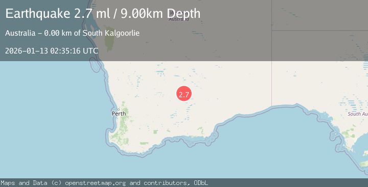
A 2.7 magnitude earthquake struck on WESTERN AUSTRALIA, at Tue, 13 Jan 2026 02:35:16 GMT. Depth: 9km. Reviewed by AUST seismologists, this minor quake occurred at a magnitude type of ml.
Magnitude
2.7
ml
Source
AUST
Intensity
-
Agency Reports
1 Sources| Source | Magnitude | Depth | Time |
|---|---|---|---|
| AUSTPrimary | 2.7 | 9 km | 1 month ago |
Earthquake Details
AutomaticEvent IDemsc_AUST_20260113_0000042
Tsunami PotentialNo
Magnitude Typeml
Nearest Places
Comments
Join the discussion about this event.
Latest Earthquakes
2.6Mag
Java, Indonesia
Time22 hours ago
Depth144.90 km
SourceVYT (Automatic)
3.9Mag
Sunda Strait, Indonesia
Time22 hours ago
Depth97.11 km
SourceBMKG
1.1Mag
6 km N of Running Springs, CA
Time22 hours ago
Depth10.46 km
SourceUSGS (Automatic)
1.7Mag
46 km SSE of Whites City, New Mexico
Time22 hours ago
Depth4.66 km
SourceUSGS (Automatic)
2.2Mag
Halmahera, Indonesia
Time22 hours ago
Depth13.54 km
SourceBMKG
Nearby Earthquakes
1.8Mag
Western Australia
Time4 days ago
Depth0.00 km
SourceVYT (Automatic)
1.7Mag
WESTERN AUSTRALIA
Time1 month ago
Depth2.00 km
SourceAUST (Automatic)
3.0Mag
WESTERN AUSTRALIA
Time3 years ago
Depth5.00 km
SourceAUST (Automatic)
3.0Mag
WESTERN AUSTRALIA
Time1 year ago
Depth3.00 km
SourceAUST (Automatic)
1.5Mag
Western Australia
Time5 days ago
Depth0.61 km
SourceVYT (Automatic)