Earthquake NEAR S.E. COAST OF AUSTRALIA
Mon, 02 Feb 2026 21:38:26 GMT
Time1 hour ago
Location
-37.4200, 147.1900
Depth
10.0 KM
Event Summary
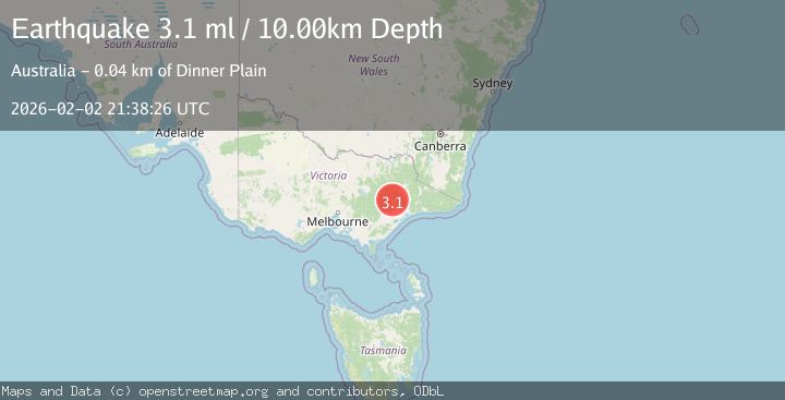
A 3.1 magnitude earthquake struck on NEAR S.E. COAST OF AUSTRALIA, at Mon, 02 Feb 2026 21:38:26 GMT. Depth: 10km. Reviewed by AUST seismologists, this minor quake occurred at a magnitude type of ml.
Magnitude
3.1
ml
Source
AUST
Intensity
-
Agency Reports
1 Sources| Source | Magnitude | Depth | Time |
|---|---|---|---|
| AUSTPrimary | 3.1 | 10 km | 1 hour ago |
Earthquake Details
AutomaticEvent IDemsc_AUST_20260202_0000352
Tsunami PotentialNo
Magnitude Typeml
Nearest Places
- Queenbee2.3 km
- Bootlace2.3 km
- Kong Meng Mine2.4 km
- Hibernia Mine3.0 km
- Mount Hurley3.2 km
Comments
Join the discussion about this event.
Latest Earthquakes
2.8Mag
Sulawesi, Indonesia
Time1 hour ago
Depth10.00 km
SourceBMKG (Automatic)
1.5Mag
5 km SE of San Ramon, CA
Time1 hour ago
Depth6.55 km
SourceUSGS (Automatic)
3.8Mag
Southern Sumatra, Indonesia
Time1 hour ago
Depth10.00 km
SourceBMKG (Automatic)
2.4Mag
West Papua Region, Indonesia
Time1 hour ago
Depth9.36 km
SourceBMKG (Automatic)
4.4Mag
FIJI REGION
Time1 hour ago
Depth493.40 km
SourceNEIC (Automatic)