Earthquake West Papua Region, Indonesia
Mon, 02 Feb 2026 21:29:49 GMT
Time1 hour ago
Location
-1.0046, 133.7831
Depth
7.5 KM
Event Summary
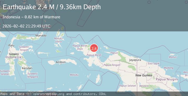
A 2.3 magnitude earthquake struck on West Papua Region, Indonesia, at Mon, 02 Feb 2026 21:29:49 GMT. Depth: 7.531016km. Reviewed by BMKG seismologists, this minor quake occurred at a magnitude type of M.
Magnitude
2.3
M
Source
BMKG
Intensity
-
Agency Reports
1 Sources| Source | Magnitude | Depth | Time |
|---|---|---|---|
| BMKGPrimary | 2.3 | 8 km | 1 hour ago |
Earthquake Details
AutomaticEvent IDbmg2026cicq
Tsunami PotentialNo
Magnitude TypeM
Nearest Places
- Kampung Asarbey4.4 km
- Kampung Urey4.9 km
- Kampung Kipuwau5.0 km
- Ndar6.0 km
- Kampung Aska6.5 km
Comments
Join the discussion about this event.
Latest Earthquakes
2.1Mag
Timor Region
Time2 hours ago
Depth11.36 km
SourceBMKG (Automatic)
1.9Mag
47 km SSE of Glacier View, Alaska
Time2 hours ago
Depth18.50 km
SourceUSGS (Automatic)
1.6Mag
WESTERN TURKEY
Time2 hours ago
Depth6.70 km
SourceAFAD (Automatic)
3.2Mag
EASTERN MEDITERRANEAN SEA
Time2 hours ago
Depth14.00 km
SourceKOERI (Automatic)
2.0Mag
POLAND
Time2 hours ago
Depth11.00 km
SourceIGPAS (Automatic)
Nearby Earthquakes
2.1Mag
West Papua Region, Indonesia
Time1 week ago
Depth38.83 km
SourceBMKG (Automatic)
2.4Mag
West Papua Region, Indonesia
Time1 week ago
Depth10.00 km
SourceBMKG (Automatic)
3.2Mag
West Papua Region, Indonesia
Time1 week ago
Depth21.74 km
SourceBMKG (Automatic)
2.2Mag
West Papua Region, Indonesia
Time5 days ago
Depth7.51 km
SourceBMKG (Automatic)
2.5Mag
West Papua Region, Indonesia
Time1 week ago
Depth12.18 km
SourceBMKG (Automatic)