Earthquake NEAR S.E. COAST OF AUSTRALIA
Tue, 03 Feb 2026 06:02:45 GMT
Time1 day ago
Location
-38.0400, 146.3500
Depth
10.0 KM
Event Summary
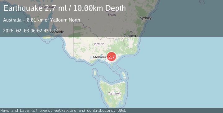
A 2.7 magnitude earthquake struck on NEAR S.E. COAST OF AUSTRALIA, at Tue, 03 Feb 2026 06:02:45 GMT. Depth: 10km. Reviewed by AUST seismologists, this minor quake occurred at a magnitude type of ml.
Magnitude
2.7
ml
Source
AUST
Intensity
-
Agency Reports
1 Sources| Source | Magnitude | Depth | Time |
|---|---|---|---|
| AUSTPrimary | 2.7 | 10 km | 1 day ago |
Earthquake Details
AutomaticEvent IDemsc_AUST_20260203_0000074
Tsunami PotentialNo
Magnitude Typeml
Nearest Places
- Gould3.0 km
- Moondarra Primary School3.0 km
- Moondarra3.0 km
- Moondarra State Park3.2 km
- West Branch Rintouls Creek4.2 km
Comments
Join the discussion about this event.
Latest Earthquakes
2.4Mag
NORTHERN CALIFORNIA
Time2 hours ago
Depth27.00 km
SourceNC (Automatic)
1.8Mag
4 km ESE of San Ramon, CA
Time2 hours ago
Depth4.41 km
SourceUSGS (Automatic)
1.6Mag
28 km NNE of Nellis Air Force Base, Nevada
Time2 hours ago
Depth4.22 km
SourceUSGS (Automatic)
5.8Mag
RYUKYU ISLANDS, JAPAN
Time2 hours ago
Depth10.00 km
SourceGFZ (Automatic)
2.8Mag
ALBANIA
Time2 hours ago
Depth15.00 km
SourceIGEO (Automatic)
Nearby Earthquakes
3.1Mag
NEAR S.E. COAST OF AUSTRALIA
Time1 day ago
Depth10.00 km
SourceAUST (Automatic)
2.2Mag
NEW SOUTH WALES, AUSTRALIA
Time1 week ago
Depth10.00 km
SourceAUST (Automatic)
2.5Mag
NEAR S.E. COAST OF AUSTRALIA
Time3 hours ago
Depth3.00 km
SourceAUST (Automatic)
2.6Mag
NEW SOUTH WALES, AUSTRALIA
Time1 week ago
Depth10.00 km
SourceAUST (Automatic)