Earthquake 4 km ESE of San Ramon, CA
Wed, 04 Feb 2026 18:34:12 GMT
Time2 hours ago
Location
37.7668, -121.9337
Depth
4.4 KM
Event Summary
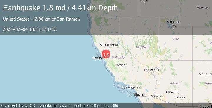
A 1.8 magnitude earthquake struck on 4 km ESE of San Ramon, CA, at Wed, 04 Feb 2026 18:34:12 GMT. Depth: 4.40999984741211km. Reviewed by USGS seismologists, this minor quake occurred at a magnitude type of md.
Magnitude
1.8
md
Source
USGS
Intensity
-
Agency Reports
1 Sources| Source | Magnitude | Depth | Time |
|---|---|---|---|
| USGSPrimary | 1.8 | 4 km | 2 hours ago |
Earthquake Details
AutomaticEvent IDusgs_nc75308397
Tsunami PotentialNo
Magnitude Typemd
Nearest Places
Comments
Join the discussion about this event.
Latest Earthquakes
2.4Mag
Minahassa Peninsula, Sulawesi
Time7 minutes ago
Depth86.87 km
SourceBMKG (Automatic)
2.2Mag
ALBANIA
Time16 minutes ago
Depth15.00 km
SourceIGEO (Automatic)
2.4Mag
Northern Sumatra, Indonesia
Time17 minutes ago
Depth64.64 km
SourceBMKG (Automatic)
3.0Mag
PHILIPPINE ISLANDS REGION
Time30 minutes ago
Depth32.00 km
SourcePIVS (Automatic)
1.6Mag
WESTERN TURKEY
Time31 minutes ago
Depth11.80 km
SourceAFAD (Automatic)
Nearby Earthquakes
2.2Mag
SAN FRANCISCO BAY AREA, CALIF.
Time49 minutes ago
Depth3.70 km
SourceNC (Automatic)
2.5Mag
4 km ESE of San Ramon, CA
Time2 days ago
Depth6.42 km
SourceUSGS (Automatic)
2.8Mag
SAN FRANCISCO BAY AREA, CALIF.
Time1 day ago
Depth7.70 km
SourceNC (Automatic)
1.8Mag
4 km ESE of San Ramon, CA
Time1 day ago
Depth6.84 km
SourceUSGS (Automatic)
1.4Mag
5 km ESE of San Ramon, CA
Time3 days ago
Depth5.98 km
SourceUSGS (Automatic)