Earthquake WESTERN AUSTRALIA
Tue, 10 Feb 2026 01:26:37 GMT
Time5 hours ago
Location
-18.8200, 123.3500
Depth
10.0 KM
Event Summary
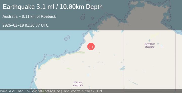
A 3.1 magnitude earthquake struck on WESTERN AUSTRALIA, at Tue, 10 Feb 2026 01:26:37 GMT. Depth: 10km. Reviewed by AUST seismologists, this minor quake occurred at a magnitude type of ml.
Magnitude
3.1
ml
Source
AUST
Intensity
-
Agency Reports
1 Sources| Source | Magnitude | Depth | Time |
|---|---|---|---|
| AUSTPrimary | 3.1 | 10 km | 5 hours ago |
Earthquake Details
AutomaticEvent IDemsc_AUST_20260210_0000024
Tsunami PotentialNo
Magnitude Typeml
Nearest Places
- Goorda Tower13.2 km
- Edgar Range13.5 km
- Mount Alexander25.8 km
- Mount Collins26.1 km
- Mount Collins26.7 km
Comments
Join the discussion about this event.
Latest Earthquakes
2.6Mag
Java, Indonesia
Time4 hours ago
Depth78.21 km
SourceBMKG
0.9Mag
6 km WNW of Cobb, CA
Time4 hours ago
Depth2.06 km
SourceUSGS (Automatic)
1.5Mag
27 km SSE of Rachel, Nevada
Time4 hours ago
Depth0.66 km
SourceUSGS (Automatic)
2.6Mag
VALPARAISO, CHILE
Time5 hours ago
Depth84.60 km
SourceCSN (Automatic)
3.6Mag
SULAWESI, INDONESIA
Time5 hours ago
Depth149.00 km
SourceBMKG (Automatic)
Nearby Earthquakes
2.8Mag
WESTERN AUSTRALIA
Time6 hours ago
Depth10.00 km
SourceAUST (Automatic)
3.1Mag
NORTHWEST OF AUSTRALIA
Time2 weeks ago
Depth10.00 km
SourceAUST (Automatic)
3.5Mag
South of Timor, Indonesia
Time2 days ago
Depth33.65 km
SourceBMKG (Automatic)
3.1Mag
South of Timor, Indonesia
Time5 days ago
Depth29.45 km
SourceBMKG (Automatic)
3.3Mag
South of Sumba, Indonesia
Time2 weeks ago
Depth79.35 km
SourceBMKG (Automatic)