Earthquake WESTERN AUSTRALIA
Tue, 10 Feb 2026 00:48:11 GMT
Time3 hours ago
Location
-18.8200, 123.3600
Depth
10.0 KM
Event Summary
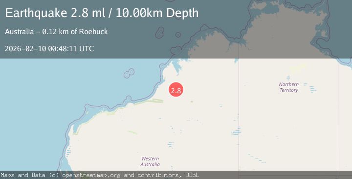
A 2.8 magnitude earthquake struck on WESTERN AUSTRALIA, at Tue, 10 Feb 2026 00:48:11 GMT. Depth: 10km. Reviewed by AUST seismologists, this minor quake occurred at a magnitude type of ml.
Magnitude
2.8
ml
Source
AUST
Intensity
-
Agency Reports
1 Sources| Source | Magnitude | Depth | Time |
|---|---|---|---|
| AUSTPrimary | 2.8 | 10 km | 3 hours ago |
Earthquake Details
AutomaticEvent IDemsc_AUST_20260210_0000016
Tsunami PotentialNo
Magnitude Typeml
Nearest Places
- Goorda Tower12.3 km
- Edgar Range12.9 km
- Mount Alexander25.1 km
- Mount Collins25.5 km
- Mount Collins25.8 km
Comments
Join the discussion about this event.
Latest Earthquakes
3.3Mag
NORTH ISLAND OF NEW ZEALAND
Time3 hours ago
Depth17.00 km
SourceGNS (Automatic)
4.5Mag
MORO GULF, MINDANAO, PHILIPPINES
Time3 hours ago
Depth35.00 km
SourcePIVS (Automatic)
4.6Mag
Mindanao, Philippines
Time3 hours ago
Depth10.00 km
SourceBMKG (Automatic)
2.6Mag
Java, Indonesia
Time3 hours ago
Depth22.70 km
SourceBMKG (Automatic)
2.5Mag
OFFSHORE ANTOFAGASTA, CHILE
Time3 hours ago
Depth67.00 km
SourceCSN (Automatic)
Nearby Earthquakes
3.1Mag
NORTHWEST OF AUSTRALIA
Time2 weeks ago
Depth10.00 km
SourceAUST (Automatic)
3.5Mag
South of Timor, Indonesia
Time1 day ago
Depth33.65 km
SourceBMKG (Automatic)
3.1Mag
South of Timor, Indonesia
Time5 days ago
Depth29.45 km
SourceBMKG (Automatic)
3.3Mag
South of Sumba, Indonesia
Time2 weeks ago
Depth79.35 km
SourceBMKG (Automatic)
3.1Mag
Timor Region
Time11 hours ago
Depth40.74 km
SourceBMKG (Automatic)