Earthquake WESTERN AUSTRALIA
Sat, 28 Feb 2026 10:48:47 GMT
Time5 days ago
Location
-33.8354, 117.9394
Depth
5.0 KM
Event Summary
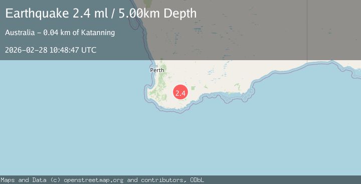
A 2.4 magnitude earthquake struck on WESTERN AUSTRALIA, at Sat, 28 Feb 2026 10:48:47 GMT. Depth: 5km. Reviewed by AUST seismologists, this minor quake occurred at a magnitude type of ml.
Magnitude
2.4
ml
Source
AUST
Intensity
-
Agency Reports
1 Sources| Source | Magnitude | Depth | Time |
|---|---|---|---|
| AUSTPrimary | 2.4 | 5 km | 5 days ago |
Earthquake Details
AutomaticEvent IDemsc_AUST_20260228_0000374
Tsunami PotentialNo
Magnitude Typeml
Nearest Places
- 0.3 km
- 1.3 km
- 1.8 km
- 3.2 km
- 3.9 km
Comments
Join the discussion about this event.
Latest Earthquakes
2.1Mag
near the coast of Tarapaca, Chile
Time6 hours ago
Depth25.15 km
SourceVYT (Automatic)
2.5Mag
Sunda Strait, Indonesia
Time6 hours ago
Depth5.42 km
SourceBMKG
0.9Mag
8 km NW of The Geysers, CA
Time6 hours ago
Depth2.07 km
SourceUSGS (Automatic)
3.5Mag
KYUSHU, JAPAN
Time6 hours ago
Depth10.00 km
SourceJMA (Automatic)
2.7Mag
SICILY, ITALY
Time6 hours ago
Depth0.00 km
SourceINGV (Automatic)
Nearby Earthquakes
2.2Mag
WESTERN AUSTRALIA
Time6 days ago
Depth5.00 km
SourceAUST (Automatic)
2.1Mag
WESTERN AUSTRALIA
Time6 days ago
Depth5.00 km
SourceAUST (Automatic)
2.8Mag
WESTERN AUSTRALIA
Time22 hours ago
Depth2.20 km
SourceAUST (Automatic)
2.2Mag
WESTERN AUSTRALIA
Time2 weeks ago
Depth5.00 km
SourceAUST (Automatic)
2.6Mag
WESTERN AUSTRALIA
Time2 weeks ago
Depth2.00 km
SourceAUST (Automatic)