Earthquake UNIMAK ISLAND REGION, ALASKA
Tue, 13 Jan 2026 12:23:30 GMT
Time1 month ago
Location
54.5168, -163.5128
Depth
8.6 KM
Event Summary
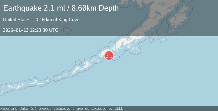
A 2.1 magnitude earthquake struck on UNIMAK ISLAND REGION, ALASKA, at Tue, 13 Jan 2026 12:23:30 GMT. Depth: 8.6km. Reviewed by AV seismologists, this minor quake occurred at a magnitude type of ml.
Magnitude
2.1
ml
Source
AV
Intensity
-
Agency Reports
1 Sources| Source | Magnitude | Depth | Time |
|---|---|---|---|
| AVPrimary | 2.1 | 9 km | 1 month ago |
Earthquake Details
AutomaticEvent IDemsc_AV_20260113_0000360
Tsunami PotentialNo
Magnitude Typeml
Nearest Places
- South Pinnacle Rock10.3 km
- Lazaref Reef10.9 km
- North Pinnacle Rock11.1 km
- Cape Lazaref11.5 km
- Lazaref River12.6 km
Comments
Join the discussion about this event.
Latest Earthquakes
3.1Mag
Bali Region, Indonesia
Time12 hours ago
Depth19.14 km
SourceBMKG
2.7Mag
Coquimbo, Chile
Time12 hours ago
Depth14.16 km
SourceVYT (Automatic)
1.7Mag
Southeastern Alaska
Time12 hours ago
Depth5.98 km
SourceVYT (Automatic)
2.1Mag
Tarapaca, Chile
Time12 hours ago
Depth110.35 km
SourceVYT (Automatic)
2.7Mag
Minahassa Peninsula, Sulawesi
Time12 hours ago
Depth114.15 km
SourceBMKG
Nearby Earthquakes
3.0Mag
UNIMAK ISLAND REGION, ALASKA
Time4 years ago
Depth24.00 km
SourceNEIC (Automatic)
4.0Mag
UNIMAK ISLAND REGION, ALASKA
Time5 years ago
Depth85.00 km
SourceNEIC (Automatic)
2.6Mag
22 km S of False Pass, Alaska
Time1 month ago
Depth6.70 km
SourceUSGS
3.0Mag
UNIMAK ISLAND REGION, ALASKA
Time2 months ago
Depth77.60 km
SourceAK (Automatic)
3.0Mag
UNIMAK ISLAND REGION, ALASKA
Time7 months ago
Depth6.80 km
SourceAK (Automatic)