Earthquake SOUTHEASTERN ALASKA
Sat, 17 Jan 2026 23:24:16 GMT
Time1 month ago
Location
57.1973, -136.2638
Depth
13.4 KM
Event Summary
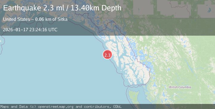
A 2.3 magnitude earthquake struck on SOUTHEASTERN ALASKA, at Sat, 17 Jan 2026 23:24:16 GMT. Depth: 13.4km. Reviewed by AV seismologists, this minor quake occurred at a magnitude type of ml.
Magnitude
2.3
ml
Source
AV
Intensity
-
Agency Reports
2 Sources| Source | Magnitude | Depth | Time |
|---|---|---|---|
| AVPrimary | 2.3 | 13 km | 1 month ago |
| AK | 2.1 | 6 km | 1 month ago |
Earthquake Details
AutomaticEvent IDemsc_AV_20260117_0000303
Tsunami PotentialNo
Magnitude Typeml
Nearest Places
- 23.6 km
- 24.8 km
- 25.2 km
- 25.8 km
- 26.3 km
Comments
Join the discussion about this event.
Latest Earthquakes
1.9Mag
Southern California
Time2 minutes ago
Depth16.97 km
SourceVYT (Automatic)
1.9Mag
Antofagasta, Chile
Time2 minutes ago
Depth0.00 km
SourceVYT (Automatic)
1.5Mag
Fox Islands, Aleutian Islands, Alaska
Time3 minutes ago
Depth0.24 km
SourceVYT (Automatic)
2.2Mag
ISLAND OF HAWAII, HAWAII
Time4 minutes ago
Depth0.70 km
SourceHV (Automatic)
3.8Mag
NORTH ISLAND OF NEW ZEALAND
Time6 minutes ago
Depth38.90 km
SourceGNS (Automatic)
Nearby Earthquakes
2.2Mag
SOUTHEASTERN ALASKA
Time1 month ago
Depth2.80 km
SourceAV (Automatic)
3.0Mag
SOUTHEASTERN ALASKA
Time6 years ago
Depth5.00 km
SourceNEIR (Automatic)
2.5Mag
19 km WNW of Sitka, Alaska
Time2 weeks ago
Depth5.50 km
SourceUSGS (Automatic)
1.7Mag
Southeastern Alaska
Time1 week ago
Depth198.36 km
SourceVYT (Automatic)
2.7Mag
OFF COAST OF SOUTHEASTERN ALASKA
Time1 month ago
Depth20.90 km
SourceNEIC (Automatic)