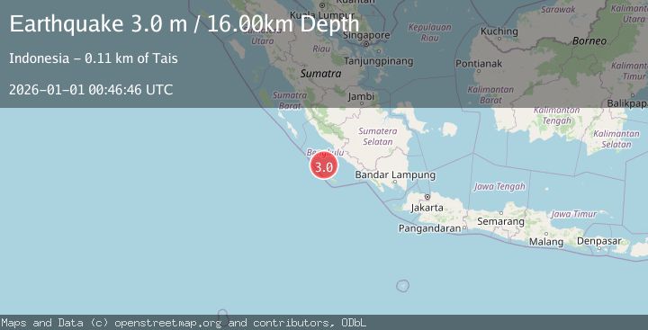
Earthquake SOUTHERN SUMATRA, INDONESIA
Thu, 01 Jan 2026 00:46:46 GMT
Time1 month ago
Location
-4.6400, 101.8100
Depth
16.0 KM
Event Summary
A 3.0 magnitude earthquake struck on SOUTHERN SUMATRA, INDONESIA, at Thu, 01 Jan 2026 00:46:46 GMT. Depth: 16km. Reviewed by BMKG seismologists, this minor quake occurred at a magnitude type of m.
Magnitude
3.0
m
Source
BMKG
Intensity
-
Agency Reports
1 Sources| Source | Magnitude | Depth | Time |
|---|---|---|---|
| BMKGPrimary | 3.0 | 16 km | 1 month ago |
Earthquake Details
AutomaticEvent IDemsc_BMKG_20260101_0000009
Tsunami PotentialNo
Magnitude Typem
Nearest Places
- Mentawai Trough79.0 km
- Lakoaha81.4 km
- Sungai Hubaje81.5 km
- Tanjung Lakoaha81.5 km
- Batang Mea83.3 km
Comments
Join the discussion about this event.
Latest Earthquakes
0.6Mag
12 km SE of Anza, CA
Time8 minutes ago
Depth6.49 km
SourceUSGS (Automatic)
2.6Mag
western Texas
Time10 minutes ago
Depth12.70 km
SourceVYT (Automatic)
2.0Mag
Sumbawa Region, Indonesia
Time11 minutes ago
Depth21.49 km
SourceBMKG
1.0Mag
Southern Alaska
Time11 minutes ago
Depth1.34 km
SourceVYT (Automatic)
1.7Mag
Dead Sea region
Time13 minutes ago
Depth0.00 km
SourceVYT (Automatic)
Nearby Earthquakes
5.0Mag
SOUTHERN SUMATRA, INDONESIA
Time3 years ago
Depth40.00 km
SourceEMSC (Automatic)
3.3Mag
SOUTHERN SUMATRA, INDONESIA
Time1 month ago
Depth10.00 km
SourceBMKG (Automatic)
3.2Mag
Southern Sumatra, Indonesia
Time3 weeks ago
Depth10.00 km
SourceBMKG (Automatic)
3.1Mag
Southern Sumatra, Indonesia
Time5 days ago
Depth7.82 km
SourceBMKG
6.0Mag
SOUTHERN SUMATRA, INDONESIA
Time17 years ago
Depth30.00 km
SourceEMSC (Automatic)