Earthquake SOUTHERN SUMATRA, INDONESIA
Thu, 08 Jan 2026 19:05:41 GMT
Time1 month ago
Location
-4.6400, 101.8800
Depth
10.0 KM
Event Summary
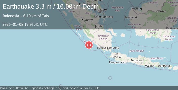
A 3.3 magnitude earthquake struck on SOUTHERN SUMATRA, INDONESIA, at Thu, 08 Jan 2026 19:05:41 GMT. Depth: 10km. Reviewed by BMKG seismologists, this minor quake occurred at a magnitude type of m.
Magnitude
3.3
m
Source
BMKG
Intensity
-
Agency Reports
1 Sources| Source | Magnitude | Depth | Time |
|---|---|---|---|
| BMKGPrimary | 3.3 | 10 km | 1 month ago |
Earthquake Details
AutomaticEvent IDemsc_BMKG_20260108_0000272
Tsunami PotentialNo
Magnitude Typem
Nearest Places
- Tanjung Lakoaha78.0 km
- Lakoaha78.0 km
- Sungai Hubaje78.1 km
- Batang Mea80.1 km
- Barhau80.5 km
Comments
Join the discussion about this event.
Latest Earthquakes
1.2Mag
5 km WNW of The Geysers, CA
Time11 hours ago
Depth3.19 km
SourceUSGS (Automatic)
3.4Mag
Sulawesi, Indonesia
Time11 hours ago
Depth27.95 km
SourceVYT (Automatic)
1.6Mag
Central Alaska
Time11 hours ago
Depth18.07 km
SourceVYT (Automatic)
2.5Mag
Bering Strait
Time12 hours ago
Depth200.07 km
SourceVYT (Automatic)
2.3Mag
Sumbawa Region, Indonesia
Time12 hours ago
Depth10.00 km
SourceBMKG
Nearby Earthquakes
3.2Mag
Southern Sumatra, Indonesia
Time3 weeks ago
Depth10.00 km
SourceBMKG (Automatic)
3.0Mag
SOUTHERN SUMATRA, INDONESIA
Time1 month ago
Depth16.00 km
SourceBMKG (Automatic)
5.0Mag
SOUTHERN SUMATRA, INDONESIA
Time3 years ago
Depth40.00 km
SourceEMSC (Automatic)
3.1Mag
Southern Sumatra, Indonesia
Time5 days ago
Depth7.82 km
SourceBMKG
4.0Mag
SOUTHERN SUMATRA, INDONESIA
Time3 years ago
Depth10.00 km
SourceDJA (Automatic)