Earthquake PAPUA, INDONESIA
Fri, 02 Jan 2026 02:13:57 GMT
Time1 month ago
Location
-3.1400, 135.7500
Depth
10.0 KM
Event Summary
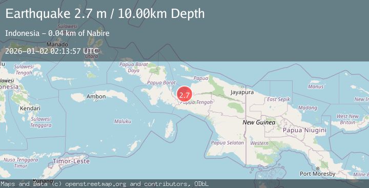
A 2.7 magnitude earthquake struck on PAPUA, INDONESIA, at Fri, 02 Jan 2026 02:13:57 GMT. Depth: 10km. Reviewed by BMKG seismologists, this minor quake occurred at a magnitude type of m.
Magnitude
2.7
m
Source
BMKG
Intensity
-
Agency Reports
1 Sources| Source | Magnitude | Depth | Time |
|---|---|---|---|
| BMKGPrimary | 2.7 | 10 km | 1 month ago |
Earthquake Details
AutomaticEvent IDemsc_BMKG_20260102_0000031
Tsunami PotentialNo
Magnitude Typem
Nearest Places
- Kampung Makimi2.0 km
- Sungai Legare2.4 km
- Musairo2.4 km
- Kampung Lagari Jaya2.6 km
- Sungai Musairo3.3 km
Comments
Join the discussion about this event.
Latest Earthquakes
0.8Mag
7 km NW of The Geysers, CA
Time1 hour ago
Depth1.32 km
SourceUSGS (Automatic)
2.5Mag
San Juan, Argentina
Time1 hour ago
Depth363.53 km
SourceVYT (Automatic)
2.5Mag
Java, Indonesia
Time1 hour ago
Depth115.43 km
SourceBMKG
3.9Mag
Halmahera, Indonesia
Time1 hour ago
Depth161.01 km
SourceVYT (Automatic)
1.0Mag
3 km W of Cobb, CA
Time1 hour ago
Depth2.45 km
SourceUSGS (Automatic)
Nearby Earthquakes
2.8Mag
West Papua Region, Indonesia
Time3 hours ago
Depth34.12 km
SourceBMKG
5.1Mag
PAPUA, INDONESIA
Time21 years ago
Depth60.00 km
SourceEMSC (Automatic)
2.6Mag
West Papua Region, Indonesia
Time3 weeks ago
Depth10.00 km
SourceBMKG (Automatic)
2.6Mag
PAPUA, INDONESIA
Time1 month ago
Depth10.00 km
SourceBMKG (Automatic)
3.0Mag
PAPUA, INDONESIA
Time3 months ago
Depth42.00 km
SourceBMKG (Automatic)