Earthquake SUMBAWA REGION, INDONESIA
Fri, 02 Jan 2026 11:56:20 GMT
Time1 month ago
Location
-9.5300, 117.5300
Depth
29.0 KM
Event Summary
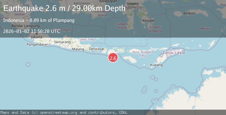
A 2.6 magnitude earthquake struck on SUMBAWA REGION, INDONESIA, at Fri, 02 Jan 2026 11:56:20 GMT. Depth: 29km. Reviewed by BMKG seismologists, this minor quake occurred at a magnitude type of m.
Magnitude
2.6
m
Source
BMKG
Intensity
-
Agency Reports
1 Sources| Source | Magnitude | Depth | Time |
|---|---|---|---|
| BMKGPrimary | 2.6 | 29 km | 1 month ago |
Earthquake Details
AutomaticEvent IDemsc_BMKG_20260102_0000150
Tsunami PotentialNo
Magnitude Typem
Nearest Places
- Tanjung Liongsong52.6 km
- Sungai Dodo56.2 km
- Tanjung Lesek56.2 km
- Teluk Sarang56.3 km
- Tanjung Sebu57.6 km
Comments
Join the discussion about this event.
Latest Earthquakes
2.6Mag
near the coast of Tarapaca, Chile
Time37 seconds ago
Depth71.53 km
SourceVYT (Automatic)
3.8Mag
Molucca Sea
Time1 minute ago
Depth47.00 km
SourceVYT (Automatic)
1.9Mag
6 km NW of Pinnacles, CA
Time6 minutes ago
Depth4.82 km
SourceUSGS (Automatic)
1.2Mag
Southern Yukon Territory, Canada
Time17 minutes ago
Depth0.00 km
SourceVYT (Automatic)
3.6Mag
Jujuy, Argentina
Time18 minutes ago
Depth228.27 km
SourceVYT (Automatic)
Nearby Earthquakes
4.0Mag
SUMBAWA REGION, INDONESIA
Time4 years ago
Depth15.00 km
SourceDJA (Automatic)
2.7Mag
Sumbawa Region, Indonesia
Time1 week ago
Depth24.83 km
SourceBMKG (Automatic)
3.0Mag
SUMBAWA REGION, INDONESIA
Time1 year ago
Depth25.00 km
SourceBMKG (Automatic)
3.0Mag
SUMBAWA REGION, INDONESIA
Time2 years ago
Depth28.00 km
SourceBMKG (Automatic)
2.6Mag
Sumbawa Region, Indonesia
Time3 weeks ago
Depth24.27 km
SourceBMKG (Automatic)