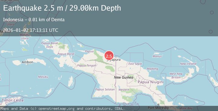
Earthquake NEAR N COAST OF PAPUA, INDONESIA
Fri, 02 Jan 2026 17:13:11 GMT
Time1 month ago
Location
-2.4000, 140.0400
Depth
29.0 KM
Event Summary
A 2.5 magnitude earthquake struck on NEAR N COAST OF PAPUA, INDONESIA, at Fri, 02 Jan 2026 17:13:11 GMT. Depth: 29km. Reviewed by BMKG seismologists, this minor quake occurred at a magnitude type of m.
Magnitude
2.5
m
Source
BMKG
Intensity
-
Agency Reports
1 Sources| Source | Magnitude | Depth | Time |
|---|---|---|---|
| BMKGPrimary | 2.5 | 29 km | 1 month ago |
Earthquake Details
AutomaticEvent IDemsc_BMKG_20260102_0000235
Tsunami PotentialNo
Magnitude Typem
Nearest Places
- Kampung Muaif2.4 km
- Sungai Moaif3.7 km
- Kampung Kamdera4.2 km
- Sungai Grime4.4 km
- Distrik Demta5.6 km
Comments
Join the discussion about this event.
Latest Earthquakes
2.0Mag
Kenai Peninsula, Alaska
Time2 minutes ago
Depth72.27 km
SourceVYT (Automatic)
2.0Mag
Central Alaska
Time6 minutes ago
Depth216.92 km
SourceVYT (Automatic)
1.8Mag
Region Metropolitana, Chile
Time10 minutes ago
Depth14.89 km
SourceVYT (Automatic)
5.0Mag
Kepulauan Aru region, Indonesia
Time10 minutes ago
Depth0.00 km
SourceVYT (Automatic)
2.5Mag
Poland
Time10 minutes ago
Depth0.24 km
SourceVYT (Automatic)
Nearby Earthquakes
5.4Mag
NEAR N COAST OF PAPUA, INDONESIA
Time4 years ago
Depth10.00 km
SourceEMSC (Automatic)
5.2Mag
NEAR N COAST OF PAPUA, INDONESIA
Time9 years ago
Depth3.00 km
SourceEMSC (Automatic)
2.5Mag
NEAR N COAST OF PAPUA, INDONESIA
Time1 month ago
Depth35.00 km
SourceBMKG (Automatic)
3.0Mag
NEAR N COAST OF PAPUA, INDONESIA
Time8 months ago
Depth17.00 km
SourceBMKG (Automatic)
5.1Mag
NEAR N COAST OF PAPUA, INDONESIA
Time2 years ago
Depth10.00 km
SourceEMSC (Automatic)