Earthquake MOLUCCA SEA
Fri, 02 Jan 2026 19:24:39 GMT
Time1 month ago
Location
2.8300, 126.4800
Depth
23.0 KM
Event Summary
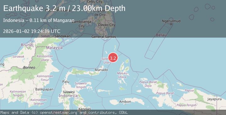
A 3.2 magnitude earthquake struck on MOLUCCA SEA, at Fri, 02 Jan 2026 19:24:39 GMT. Depth: 23km. Reviewed by BMKG seismologists, this minor quake occurred at a magnitude type of m.
Magnitude
3.2
m
Source
BMKG
Intensity
-
Agency Reports
1 Sources| Source | Magnitude | Depth | Time |
|---|---|---|---|
| BMKGPrimary | 3.2 | 23 km | 1 month ago |
Earthquake Details
AutomaticEvent IDemsc_BMKG_20260102_0000259
Tsunami PotentialNo
Magnitude Typem
Nearest Places
- Pulau Batupuntieng92.6 km
- Pulau Batukemba92.7 km
- Pulau Batuluha92.8 km
- Pulau Nenung93.1 km
- Pulau Batupaliaheng93.2 km
Comments
Join the discussion about this event.
Latest Earthquakes
2.5Mag
West Papua Region, Indonesia
Time3 minutes ago
Depth12.37 km
SourceBMKG
2.6Mag
Antofagasta, Chile
Time5 minutes ago
Depth116.33 km
SourceVYT (Automatic)
1.1Mag
Northern Territory, Australia
Time7 minutes ago
Depth0.00 km
SourceVYT (Automatic)
3.7Mag
NEAR THE COAST OF WESTERN TURKEY
Time10 minutes ago
Depth8.00 km
SourceTHE (Automatic)
2.2Mag
Central Alaska
Time10 minutes ago
Depth131.71 km
SourceVYT (Automatic)
Nearby Earthquakes
5.7Mag
MOLUCCA SEA
Time20 years ago
Depth33.00 km
SourceEMSC (Automatic)
3.1Mag
Northern Molucca Sea
Time2 weeks ago
Depth10.00 km
SourceBMKG (Automatic)
3.0Mag
Northern Molucca Sea
Time2 weeks ago
Depth7.40 km
SourceBMKG (Automatic)
5.5Mag
MOLUCCA SEA
Time20 years ago
Depth33.00 km
SourceEMSC (Automatic)
5.0Mag
MOLUCCA SEA
Time19 years ago
Depth60.00 km
SourceEMSC (Automatic)