Earthquake SOUTHERN SUMATRA, INDONESIA
Fri, 02 Jan 2026 20:05:35 GMT
Time1 month ago
Location
-2.9700, 101.0800
Depth
26.0 KM
Event Summary
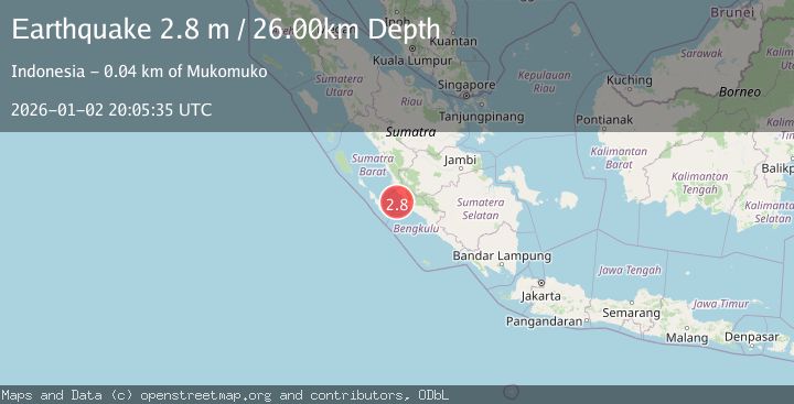
A 2.8 magnitude earthquake struck on SOUTHERN SUMATRA, INDONESIA, at Fri, 02 Jan 2026 20:05:35 GMT. Depth: 26km. Reviewed by BMKG seismologists, this minor quake occurred at a magnitude type of m.
Magnitude
2.8
m
Source
BMKG
Intensity
-
Agency Reports
1 Sources| Source | Magnitude | Depth | Time |
|---|---|---|---|
| BMKGPrimary | 2.8 | 26 km | 1 month ago |
Earthquake Details
AutomaticEvent IDemsc_BMKG_20260102_0000271
Tsunami PotentialNo
Magnitude Typem
Nearest Places
- Pondoklintang35.5 km
- Air Hitam36.0 km
- Air Jubakpanang36.0 km
- Desa Sinar Laut36.3 km
- Desa Teluk Bakung36.4 km
Comments
Join the discussion about this event.
Latest Earthquakes
1.7Mag
British Columbia, Canada
Time5 minutes ago
Depth15.99 km
SourceVYT (Automatic)
1.7Mag
7 km SSE of Pāhala, Hawaii
Time6 minutes ago
Depth43.23 km
SourceUSGS (Automatic)
1.6Mag
36 km NNW of Mentone, Texas
Time8 minutes ago
Depth7.26 km
SourceUSGS (Automatic)
3.4Mag
South Australia
Time9 minutes ago
Depth10.00 km
SourceVYT (Automatic)
2.4Mag
Finland-Russia border region
Time9 minutes ago
Depth0.00 km
SourceVYT (Automatic)
Nearby Earthquakes
4.2Mag
SOUTHERN SUMATRA, INDONESIA
Time1 month ago
Depth22.00 km
SourceBMKG (Automatic)
5.0Mag
SOUTHERN SUMATRA, INDONESIA
Time16 years ago
Depth47.00 km
SourceNEIC (Automatic)
5.6Mag
SOUTHERN SUMATRA, INDONESIA
Time6 years ago
Depth30.00 km
SourceEMSC (Automatic)
3.0Mag
SOUTHERN SUMATRA, INDONESIA
Time3 years ago
Depth20.00 km
SourceDJA (Automatic)
5.2Mag
SOUTHERN SUMATRA, INDONESIA
Time18 years ago
Depth40.00 km
SourceEMSC (Automatic)