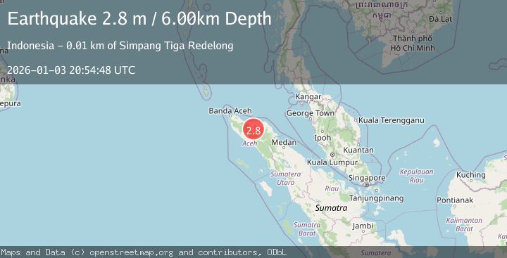
Earthquake NORTHERN SUMATRA, INDONESIA
Sat, 03 Jan 2026 20:54:48 GMT
Time1 month ago
Location
4.7500, 96.8100
Depth
6.0 KM
Event Summary
A 2.8 magnitude earthquake struck on NORTHERN SUMATRA, INDONESIA, at Sat, 03 Jan 2026 20:54:48 GMT. Depth: 6km. Reviewed by BMKG seismologists, this minor quake occurred at a magnitude type of m.
Magnitude
2.8
m
Source
BMKG
Intensity
-
Agency Reports
1 Sources| Source | Magnitude | Depth | Time |
|---|---|---|---|
| BMKGPrimary | 2.8 | 6 km | 1 month ago |
Earthquake Details
AutomaticEvent IDemsc_BMKG_20260103_0000281
Tsunami PotentialNo
Magnitude Typem
Nearest Places
- Bur Telong0.5 km
- Gampong Pante Raya0.8 km
- Gampong Rembune1.8 km
- Gampong Kenine2.3 km
- Gampong Bandar Lampahan2.4 km
Comments
Join the discussion about this event.
Latest Earthquakes
1.3Mag
5 km S of Cabazon, CA
Time2 hours ago
Depth5.80 km
SourceUSGS (Automatic)
2.1Mag
Antofagasta, Chile
Time2 hours ago
Depth131.23 km
SourceVYT (Automatic)
2.3Mag
Sulawesi, Indonesia
Time2 hours ago
Depth2.72 km
SourceBMKG
2.8Mag
Alaska Peninsula
Time2 hours ago
Depth71.17 km
SourceVYT (Automatic)
2.0Mag
CENTRAL TURKEY
Time3 hours ago
Depth6.20 km
SourceKOERI (Automatic)
Nearby Earthquakes
2.7Mag
NORTHERN SUMATRA, INDONESIA
Time1 month ago
Depth6.00 km
SourceBMKG (Automatic)
2.5Mag
NORTHERN SUMATRA, INDONESIA
Time1 month ago
Depth10.00 km
SourceBMKG (Automatic)
3.0Mag
NORTHERN SUMATRA, INDONESIA
Time2 months ago
Depth10.00 km
SourceBMKG (Automatic)
2.4Mag
Northern Sumatra, Indonesia
Time1 day ago
Depth3.00 km
SourceBMKG
3.0Mag
NORTHERN SUMATRA, INDONESIA
Time1 month ago
Depth10.00 km
SourceBMKG (Automatic)