Earthquake Northern Sumatra, Indonesia
Tue, 17 Feb 2026 13:25:46 GMT
Time19 hours ago
Location
4.7518, 96.7851
Depth
3.0 KM
Event Summary
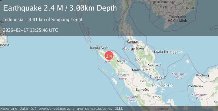
A 2.4 magnitude earthquake struck on Northern Sumatra, Indonesia, at Tue, 17 Feb 2026 13:25:46 GMT. Depth: 2.997978km. Reviewed by BMKG seismologists, this minor quake occurred at a magnitude type of M.
Magnitude
2.4
M
Source
BMKG
Intensity
-
Agency Reports
1 Sources| Source | Magnitude | Depth | Time |
|---|---|---|---|
| BMKGPrimary | 2.4 | 3 km | 19 hours ago |
Earthquake Details
ManualEvent IDbmg2026dixf
Tsunami PotentialNo
Magnitude TypeM
Nearest Places
- Gampong Bandar Lampahan0.5 km
- Blok Delapan Puluh0.6 km
- Desabaru0.6 km
- Gampong Damaran Baru0.7 km
- Gampong Karang Jadi1.0 km
Comments
Join the discussion about this event.
Latest Earthquakes
2.7Mag
SAN JUAN, ARGENTINA
Time20 hours ago
Depth96.00 km
SourceNSNA (Automatic)
3.9Mag
near the north coast of Papua, Indonesia
Time20 hours ago
Depth43.09 km
SourceVYT (Automatic)
2.2Mag
Antofagasta, Chile
Time20 hours ago
Depth125.73 km
SourceVYT (Automatic)
2.1Mag
Sumbawa Region, Indonesia
Time20 hours ago
Depth18.83 km
SourceBMKG
2.9Mag
Northern Molucca Sea
Time20 hours ago
Depth10.45 km
SourceBMKG
Nearby Earthquakes
2.7Mag
Northern Sumatra, Indonesia
Time5 days ago
Depth4.08 km
SourceBMKG
2.5Mag
Northern Sumatra, Indonesia
Time1 day ago
Depth10.00 km
SourceBMKG
2.6Mag
NORTHERN SUMATRA, INDONESIA
Time1 month ago
Depth6.00 km
SourceBMKG (Automatic)
3.0Mag
NORTHERN SUMATRA, INDONESIA
Time1 month ago
Depth10.00 km
SourceBMKG (Automatic)
3.0Mag
NORTHERN SUMATRA, INDONESIA
Time1 month ago
Depth5.00 km
SourceBMKG (Automatic)