Earthquake West Papua Region, Indonesia
Thu, 22 Jan 2026 16:59:26 GMT
Time4 days ago
Location
-4.2285, 135.4469
Depth
13.4 KM
Event Summary
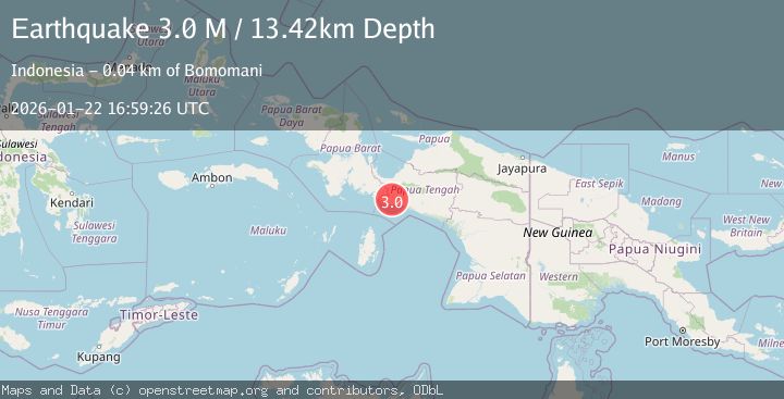
A 3.0 magnitude earthquake struck on West Papua Region, Indonesia, at Thu, 22 Jan 2026 16:59:26 GMT. Depth: 13.418748km. Reviewed by BMKG seismologists, this minor quake occurred at a magnitude type of M.
Magnitude
3.0
M
Source
BMKG
Intensity
-
Agency Reports
1 Sources| Source | Magnitude | Depth | Time |
|---|---|---|---|
| BMKGPrimary | 3.0 | 13 km | 4 days ago |
Earthquake Details
AutomaticEvent IDbmg2026bnrf
Tsunami PotentialNo
Magnitude TypeM
Nearest Places
- Gunung Pararia7.9 km
- Aru14.7 km
- Amara16.2 km
- Pasau16.8 km
- Distrik Sukikai Selatan18.3 km
Comments
Join the discussion about this event.
Latest Earthquakes
1.4Mag
41 km NW of Toyah, Texas
Time3 minutes ago
Depth2.74 km
SourceUSGS (Automatic)
2.0Mag
Sumbawa Region, Indonesia
Time7 minutes ago
Depth107.77 km
SourceBMKG (Automatic)
1.7Mag
26 km WNW of Ludlow, CA
Time11 minutes ago
Depth1.36 km
SourceUSGS (Automatic)
3.1Mag
HAITI REGION
Time14 minutes ago
Depth7.00 km
SourceAYIT (Automatic)
2.6Mag
PUERTO RICO
Time20 minutes ago
Depth16.10 km
SourcePR (Automatic)
Nearby Earthquakes
2.4Mag
West Papua Region, Indonesia
Time5 days ago
Depth7.00 km
SourceBMKG (Automatic)
2.0Mag
West Papua Region, Indonesia
Time1 day ago
Depth10.00 km
SourceBMKG (Automatic)
2.4Mag
West Papua Region, Indonesia
Time3 days ago
Depth14.61 km
SourceBMKG (Automatic)
3.4Mag
West Papua Region, Indonesia
Time4 hours ago
Depth26.26 km
SourceBMKG (Automatic)
2.3Mag
West Papua Region, Indonesia
Time6 days ago
Depth10.00 km
SourceBMKG (Automatic)