Earthquake NEAR S COAST OF PAPUA, INDONESIA
Sat, 17 Jan 2026 11:30:16 GMT
Time1 month ago
Location
-4.2200, 135.8200
Depth
10.0 KM
Event Summary
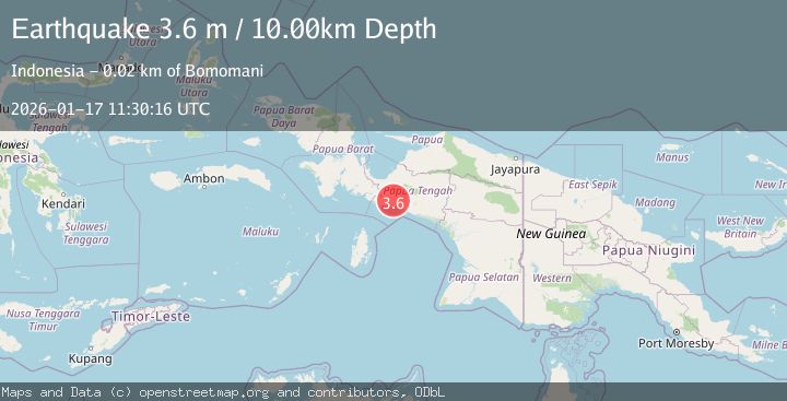
A 3.6 magnitude earthquake struck on NEAR S COAST OF PAPUA, INDONESIA, at Sat, 17 Jan 2026 11:30:16 GMT. Depth: 10km. Reviewed by BMKG seismologists, this minor quake occurred at a magnitude type of m.
Magnitude
3.6
m
Source
BMKG
Intensity
-
Agency Reports
1 Sources| Source | Magnitude | Depth | Time |
|---|---|---|---|
| BMKGPrimary | 3.6 | 10 km | 1 month ago |
Earthquake Details
AutomaticEvent IDemsc_BMKG_20260117_0000116
Tsunami PotentialNo
Magnitude Typem
Nearest Places
- Kampung Atou5.8 km
- Kampung Putaapa6.7 km
- Baraya8.1 km
- Distrik Mapia Tengah8.4 km
- Kampung Maikotu8.9 km
Comments
Join the discussion about this event.
Latest Earthquakes
2.3Mag
Potosi, Bolivia
Time2 minutes ago
Depth166.38 km
SourceVYT (Automatic)
2.5Mag
Java, Indonesia
Time5 minutes ago
Depth16.27 km
SourceBMKG
3.2Mag
Tarapaca, Chile
Time9 minutes ago
Depth111.21 km
SourceVYT (Automatic)
2.0Mag
CENTRAL TURKEY
Time14 minutes ago
Depth3.40 km
SourceKOERI (Automatic)
2.7Mag
Central Alaska
Time16 minutes ago
Depth82.89 km
SourceVYT (Automatic)
Nearby Earthquakes
4.0Mag
NEAR S COAST OF PAPUA, INDONESIA
Time4 years ago
Depth11.00 km
SourceDJA (Automatic)
4.0Mag
NEAR S COAST OF PAPUA, INDONESIA
Time5 years ago
Depth52.00 km
SourceDJA (Automatic)
5.1Mag
NEAR S COAST OF PAPUA, INDONESIA
Time10 years ago
Depth40.00 km
SourceEMSC (Automatic)
3.6Mag
NEAR S COAST OF PAPUA, INDONESIA
Time1 month ago
Depth31.00 km
SourceBMKG (Automatic)
3.0Mag
West Papua Region, Indonesia
Time0 months ago
Depth13.42 km
SourceBMKG (Automatic)