Earthquake HALMAHERA, INDONESIA
Sun, 04 Jan 2026 02:20:56 GMT
Time1 month ago
Location
0.8500, 127.0300
Depth
10.0 KM
Event Summary
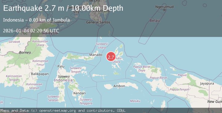
A 2.7 magnitude earthquake struck on HALMAHERA, INDONESIA, at Sun, 04 Jan 2026 02:20:56 GMT. Depth: 10km. Reviewed by BMKG seismologists, this minor quake occurred at a magnitude type of m.
Magnitude
2.7
m
Source
BMKG
Intensity
-
Agency Reports
1 Sources| Source | Magnitude | Depth | Time |
|---|---|---|---|
| BMKGPrimary | 2.7 | 10 km | 1 month ago |
Earthquake Details
AutomaticEvent IDemsc_BMKG_20260104_0000027
Tsunami PotentialNo
Magnitude Typem
Nearest Places
- Nguai Pilatu29.6 km
- Togafo29.8 km
- Tanjung Taduma29.8 km
- Loto29.8 km
- Taduma30.0 km
Comments
Join the discussion about this event.
Latest Earthquakes
3.0Mag
Java, Indonesia
Time3 minutes ago
Depth29.78 km
SourceBMKG
2.4Mag
Finland-Russia border region
Time4 minutes ago
Depth341.92 km
SourceVYT (Automatic)
0.9Mag
8 km W of Cobb, CA
Time9 minutes ago
Depth1.53 km
SourceUSGS (Automatic)
1.8Mag
Central Alaska
Time12 minutes ago
Depth2.08 km
SourceVYT (Automatic)
2.9Mag
WESTERN TURKEY
Time15 minutes ago
Depth11.80 km
SourceKOERI (Automatic)
Nearby Earthquakes
4.7Mag
Halmahera, Indonesia
Time5 days ago
Depth728.52 km
SourceVYT (Automatic)
3.0Mag
MOLUCCA SEA
Time11 months ago
Depth14.00 km
SourceBMKG (Automatic)
3.0Mag
MOLUCCA SEA
Time2 years ago
Depth17.00 km
SourceDJA (Automatic)
5.3Mag
MOLUCCA SEA
Time19 years ago
Depth73.00 km
SourceEMSC (Automatic)
2.5Mag
Northern Molucca Sea
Time19 hours ago
Depth10.00 km
SourceBMKG