Earthquake MOLUCCA SEA
Mon, 05 Jan 2026 19:08:53 GMT
Time1 month ago
Location
0.6900, 125.5500
Depth
14.0 KM
Event Summary
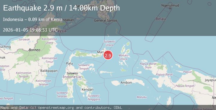
A 2.9 magnitude earthquake struck on MOLUCCA SEA, at Mon, 05 Jan 2026 19:08:53 GMT. Depth: 14km. Reviewed by BMKG seismologists, this minor quake occurred at a magnitude type of m.
Magnitude
2.9
m
Source
BMKG
Intensity
-
Agency Reports
1 Sources| Source | Magnitude | Depth | Time |
|---|---|---|---|
| BMKGPrimary | 2.9 | 14 km | 1 month ago |
Earthquake Details
AutomaticEvent IDemsc_BMKG_20260105_0000284
Tsunami PotentialNo
Magnitude Typem
Nearest Places
- Maluku Sea54.3 km
- Kelurahan Pantai Sagu72.5 km
- Pulau Tifore72.9 km
- Kelurahan Tifure73.0 km
- Pulau Pakolor73.9 km
Comments
Join the discussion about this event.
Latest Earthquakes
2.6Mag
Java, Indonesia
Time21 hours ago
Depth214.22 km
SourceBMKG
1.0Mag
Southeastern Alaska
Time21 hours ago
Depth0.00 km
SourceVYT (Automatic)
3.5Mag
COOK STRAIT, NEW ZEALAND
Time21 hours ago
Depth75.30 km
SourceGNS (Automatic)
2.5Mag
Seram, Indonesia
Time21 hours ago
Depth21.28 km
SourceBMKG
2.6Mag
West Papua Region, Indonesia
Time21 hours ago
Depth17.35 km
SourceBMKG
Nearby Earthquakes
3.0Mag
MOLUCCA SEA
Time1 month ago
Depth6.00 km
SourceBMKG (Automatic)
3.0Mag
MOLUCCA SEA
Time1 year ago
Depth10.00 km
SourceBMKG (Automatic)
3.0Mag
MOLUCCA SEA
Time6 months ago
Depth16.00 km
SourceBMKG (Automatic)
3.8Mag
MOLUCCA SEA
Time1 month ago
Depth17.00 km
SourceBMKG (Automatic)
3.0Mag
MOLUCCA SEA
Time6 months ago
Depth21.00 km
SourceBMKG (Automatic)