Earthquake SOUTHERN SUMATRA, INDONESIA
Tue, 06 Jan 2026 17:12:12 GMT
Time1 month ago
Location
-2.9800, 101.8200
Depth
82.0 KM
Event Summary
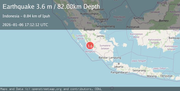
A 3.6 magnitude earthquake struck on SOUTHERN SUMATRA, INDONESIA, at Tue, 06 Jan 2026 17:12:12 GMT. Depth: 82km. Reviewed by BMKG seismologists, this minor quake occurred at a magnitude type of m.
Magnitude
3.6
m
Source
BMKG
Intensity
-
Agency Reports
1 Sources| Source | Magnitude | Depth | Time |
|---|---|---|---|
| BMKGPrimary | 3.6 | 82 km | 1 month ago |
Earthquake Details
AutomaticEvent IDemsc_BMKG_20260106_0000318
Tsunami PotentialNo
Magnitude Typem
Nearest Places
- Air Seblatani1.5 km
- Desa Suka Baru3.1 km
- Air Tembulua4.7 km
- Bukit Musin5.1 km
- Air Seblat Gini7.0 km
Comments
Join the discussion about this event.
Latest Earthquakes
3.0Mag
Antofagasta, Chile
Time3 minutes ago
Depth108.89 km
SourceVYT (Automatic)
1.7Mag
STRAIT OF GIBRALTAR
Time12 minutes ago
Depth15.80 km
SourceIGN (Automatic)
0.9Mag
WESTERN TURKEY
Time15 minutes ago
Depth11.10 km
SourceAFAD (Automatic)
3.2Mag
Croatia-Bosnia and Herzegovina border region
Time16 minutes ago
Depth63.84 km
SourceVYT (Automatic)
1.0Mag
Southern Alaska
Time21 minutes ago
Depth13.43 km
SourceVYT (Automatic)
Nearby Earthquakes
5.2Mag
SOUTHERN SUMATRA, INDONESIA
Time13 years ago
Depth107.00 km
SourceEMSC (Automatic)
3.2Mag
SOUTHERN SUMATRA, INDONESIA
Time1 month ago
Depth68.00 km
SourceBMKG (Automatic)
2.7Mag
SOUTHERN SUMATRA, INDONESIA
Time1 month ago
Depth52.00 km
SourceBMKG (Automatic)
3.0Mag
SOUTHERN SUMATRA, INDONESIA
Time1 year ago
Depth68.00 km
SourceBMKG (Automatic)
5.5Mag
SOUTHERN SUMATRA, INDONESIA
Time21 years ago
Depth300.00 km
SourceEMSC (Automatic)