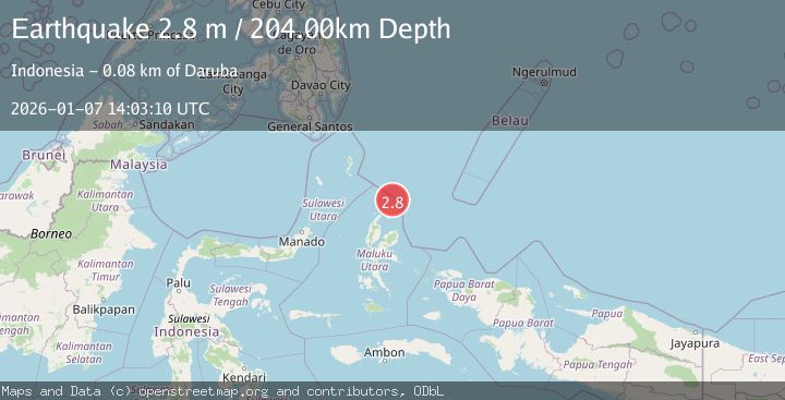
Earthquake HALMAHERA, INDONESIA
Wed, 07 Jan 2026 14:03:10 GMT
Time1 month ago
Location
2.7800, 128.5200
Depth
204.0 KM
Event Summary
A 2.8 magnitude earthquake struck on HALMAHERA, INDONESIA, at Wed, 07 Jan 2026 14:03:10 GMT. Depth: 204km. Reviewed by BMKG seismologists, this minor quake occurred at a magnitude type of m.
Magnitude
2.8
m
Source
BMKG
Intensity
-
Agency Reports
1 Sources| Source | Magnitude | Depth | Time |
|---|---|---|---|
| BMKGPrimary | 2.8 | 204 km | 1 month ago |
Earthquake Details
AutomaticEvent IDemsc_BMKG_20260107_0000234
Tsunami PotentialNo
Magnitude Typem
Nearest Places
- Tanjung Sopi16.1 km
- Kakaibabao17.0 km
- Tanjung Modiu18.5 km
- Papuamalolu20.0 km
- Teluk Sopi20.5 km
Comments
Join the discussion about this event.
Latest Earthquakes
2.8Mag
West Papua Region, Indonesia
Time8 minutes ago
Depth34.12 km
SourceBMKG
3.6Mag
NORTHERN ALGERIA
Time15 minutes ago
Depth5.80 km
SourceIGN (Automatic)
2.6Mag
Java, Indonesia
Time18 minutes ago
Depth214.22 km
SourceBMKG
1.0Mag
Southeastern Alaska
Time19 minutes ago
Depth0.00 km
SourceVYT (Automatic)
3.5Mag
COOK STRAIT, NEW ZEALAND
Time20 minutes ago
Depth75.30 km
SourceGNS (Automatic)
Nearby Earthquakes
3.1Mag
Halmahera, Indonesia
Time2 weeks ago
Depth217.68 km
SourceBMKG (Automatic)
2.6Mag
HALMAHERA, INDONESIA
Time1 month ago
Depth214.00 km
SourceBMKG (Automatic)
4.0Mag
HALMAHERA, INDONESIA
Time6 years ago
Depth20.00 km
SourceDJA (Automatic)
3.4Mag
Halmahera, Indonesia
Time0 months ago
Depth197.00 km
SourceBMKG (Automatic)
3.3Mag
HALMAHERA, INDONESIA
Time0 months ago
Depth211.00 km
SourceBMKG (Automatic)