Earthquake NORTHERN SUMATRA, INDONESIA
Thu, 08 Jan 2026 19:55:20 GMT
Time1 month ago
Location
4.9000, 96.0000
Depth
10.0 KM
Event Summary
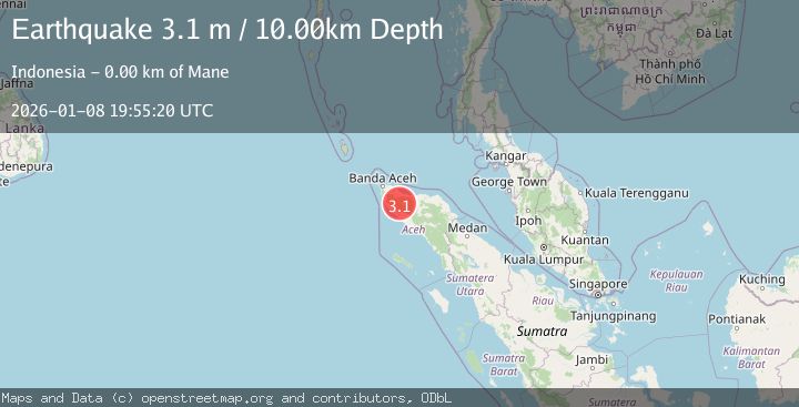
A 3.1 magnitude earthquake struck on NORTHERN SUMATRA, INDONESIA, at Thu, 08 Jan 2026 19:55:20 GMT. Depth: 10km. Reviewed by BMKG seismologists, this minor quake occurred at a magnitude type of m.
Magnitude
3.1
m
Source
BMKG
Intensity
-
Agency Reports
1 Sources| Source | Magnitude | Depth | Time |
|---|---|---|---|
| BMKGPrimary | 3.1 | 10 km | 1 month ago |
Earthquake Details
AutomaticEvent IDemsc_BMKG_20260108_0000281
Tsunami PotentialNo
Magnitude Typem
Nearest Places
- Gunung Pong Merah Putih1.2 km
- Gunung Mane1.9 km
- Alue Juk3.2 km
- Alue Tanjakan3.3 km
- Gampong Krueng Meuriam4.1 km
Comments
Join the discussion about this event.
Latest Earthquakes
1.4Mag
Southern Alaska
Time23 hours ago
Depth11.84 km
SourceVYT (Automatic)
2.1Mag
Tarapaca, Chile
Time23 hours ago
Depth30.27 km
SourceVYT (Automatic)
2.6Mag
COQUIMBO, CHILE
Time23 hours ago
Depth31.30 km
SourceCSN (Automatic)
3.7Mag
Halmahera, Indonesia
Time23 hours ago
Depth287.72 km
SourceVYT (Automatic)
3.7Mag
Rat Islands, Aleutian Islands, Alaska
Time23 hours ago
Depth59.08 km
SourceVYT (Automatic)
Nearby Earthquakes
3.4Mag
NORTHERN SUMATRA, INDONESIA
Time1 month ago
Depth10.00 km
SourceBMKG (Automatic)
2.1Mag
Northern Sumatra, Indonesia
Time3 weeks ago
Depth4.51 km
SourceBMKG (Automatic)
5.1Mag
NORTHERN SUMATRA, INDONESIA
Time3 months ago
Depth5.10 km
SourceEMSC (Automatic)
3.0Mag
NORTHERN SUMATRA, INDONESIA
Time5 years ago
Depth21.00 km
SourceDJA (Automatic)
3.0Mag
NORTHERN SUMATRA, INDONESIA
Time2 years ago
Depth10.00 km
SourceBMKG (Automatic)