Earthquake Southern Alaska
Tue, 17 Feb 2026 20:51:48 GMT
Time13 hours ago
Location
59.7597, -152.0032
Depth
11.8 KM
Event Summary
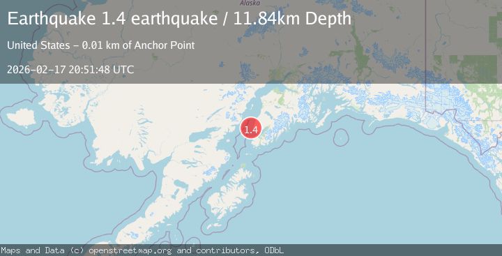
A 1.4 magnitude earthquake struck on Southern Alaska, at Tue, 17 Feb 2026 20:51:48 GMT. Depth: 11.8408203125km. Reviewed by VYT seismologists, this minor quake occurred at a magnitude type of earthquake.
Magnitude
1.4
earthquake
Source
VYT
Intensity
-
Agency Reports
1 Sources| Source | Magnitude | Depth | Time |
|---|---|---|---|
| VYTPrimary | 1.4 | 12 km | 13 hours ago |
Earthquake Details
AutomaticEvent IDvyt_1v3eqoigbn0rq
Tsunami PotentialNo
Magnitude Typeearthquake
Nearest Places
- Anchor Point7.7 km
- Anchor Point Light7.8 km
- Granroos Creek8.8 km
- Anchor River8.9 km
- Anchor River Airpark8.9 km
Comments
Join the discussion about this event.
Latest Earthquakes
1.6Mag
Southern Alaska
Time13 hours ago
Depth84.72 km
SourceVYT (Automatic)
1.3Mag
Southern Alaska
Time13 hours ago
Depth6.47 km
SourceVYT (Automatic)
3.6Mag
Tarapaca, Chile
Time13 hours ago
Depth101.32 km
SourceVYT (Automatic)
2.8Mag
Wyoming
Time13 hours ago
Depth111.08 km
SourceVYT (Automatic)
1.5Mag
Southern Alaska
Time13 hours ago
Depth30.52 km
SourceVYT (Automatic)
Nearby Earthquakes
3.0Mag
KENAI PENINSULA, ALASKA
Time7 years ago
Depth76.00 km
SourceNEIR (Automatic)
3.0Mag
SOUTHERN ALASKA
Time3 years ago
Depth68.00 km
SourceNEIC (Automatic)
2.1Mag
20 km W of Anchor Point, Alaska
Time1 week ago
Depth66.90 km
SourceUSGS (Automatic)
3.0Mag
SOUTHERN ALASKA
Time2 years ago
Depth68.90 km
SourceAK (Automatic)
3.0Mag
SOUTHERN ALASKA
Time3 years ago
Depth78.00 km
SourceNEIC (Automatic)