Earthquake SOUTHERN SUMATRA, INDONESIA
Fri, 09 Jan 2026 01:35:23 GMT
Time1 month ago
Location
-5.6300, 103.7200
Depth
20.0 KM
Event Summary
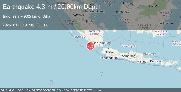
A 4.3 magnitude earthquake struck on SOUTHERN SUMATRA, INDONESIA, at Fri, 09 Jan 2026 01:35:23 GMT. Depth: 20km. Reviewed by BMKG seismologists, this light quake occurred at a magnitude type of m.
Magnitude
4.3
m
Source
BMKG
Intensity
-
Agency Reports
1 Sources| Source | Magnitude | Depth | Time |
|---|---|---|---|
| BMKGPrimary | 4.3 | 20 km | 1 month ago |
Earthquake Details
AutomaticEvent IDemsc_BMKG_20260109_0000020
Tsunami PotentialNo
Magnitude Typem
Nearest Places
- Enggano Basin41.3 km
- Desa Bangun Negara46.4 km
- Wai Biha46.7 km
- Wai Marang46.7 km
- Ujung Tapokan46.7 km
Comments
Join the discussion about this event.
Latest Earthquakes
2.8Mag
Sunda Strait, Indonesia
Time7 minutes ago
Depth3.61 km
SourceBMKG
3.6Mag
south of Alaska
Time8 minutes ago
Depth10.00 km
SourceVYT (Automatic)
1.2Mag
Central Alaska
Time10 minutes ago
Depth68.97 km
SourceVYT (Automatic)
1.2Mag
Washington
Time11 minutes ago
Depth0.00 km
SourceVYT (Automatic)
0.8Mag
10 km WNW of The Geysers, CA
Time18 minutes ago
Depth1.96 km
SourceUSGS (Automatic)
Nearby Earthquakes
3.0Mag
SOUTHERN SUMATRA, INDONESIA
Time2 months ago
Depth20.00 km
SourceBMKG (Automatic)
3.0Mag
SOUTHERN SUMATRA, INDONESIA
Time2 years ago
Depth34.00 km
SourceDJA (Automatic)
3.0Mag
SOUTHERN SUMATRA, INDONESIA
Time3 years ago
Depth20.00 km
SourceDJA (Automatic)
3.0Mag
SOUTHERN SUMATRA, INDONESIA
Time3 years ago
Depth10.00 km
SourceDJA (Automatic)
2.6Mag
SOUTHERN SUMATRA, INDONESIA
Time1 month ago
Depth23.00 km
SourceBMKG (Automatic)