Earthquake SUMBA REGION, INDONESIA
Fri, 09 Jan 2026 04:16:26 GMT
Time1 month ago
Location
-9.3400, 119.3600
Depth
27.0 KM
Event Summary
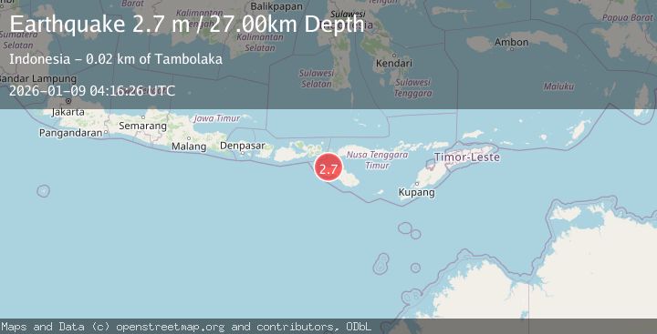
A 2.7 magnitude earthquake struck on SUMBA REGION, INDONESIA, at Fri, 09 Jan 2026 04:16:26 GMT. Depth: 27km. Reviewed by BMKG seismologists, this minor quake occurred at a magnitude type of m.
Magnitude
2.7
m
Source
BMKG
Intensity
-
Agency Reports
1 Sources| Source | Magnitude | Depth | Time |
|---|---|---|---|
| BMKGPrimary | 2.7 | 27 km | 1 month ago |
Earthquake Details
AutomaticEvent IDemsc_BMKG_20260109_0000056
Tsunami PotentialNo
Magnitude Typem
Nearest Places
- Mananga Katewel4.3 km
- Loko Katewel4.3 km
- Ramuk Katewel4.4 km
- Katewel4.7 km
- Nanga Amba4.9 km
Comments
Join the discussion about this event.
Latest Earthquakes
0.7Mag
Southern Alaska
Time17 hours ago
Depth0.00 km
SourceVYT (Automatic)
2.2Mag
Tarapaca, Chile
Time17 hours ago
Depth0.12 km
SourceVYT (Automatic)
3.7Mag
Adriatic Sea
Time17 hours ago
Depth10.00 km
SourceVYT (Automatic)
1.2Mag
4 km W of Lake Henshaw, CA
Time17 hours ago
Depth12.20 km
SourceUSGS (Automatic)
2.6Mag
Near North Coast of West Papua
Time17 hours ago
Depth10.00 km
SourceBMKG
Nearby Earthquakes
3.0Mag
SUMBA REGION, INDONESIA
Time5 months ago
Depth44.00 km
SourceBMKG (Automatic)
3.0Mag
SUMBA REGION, INDONESIA
Time3 years ago
Depth32.00 km
SourceDJA (Automatic)
2.4Mag
Sumba Region, Indonesia
Time3 weeks ago
Depth24.15 km
SourceBMKG (Automatic)
2.8Mag
SUMBA REGION, INDONESIA
Time1 month ago
Depth36.00 km
SourceBMKG (Automatic)
2.5Mag
SUMBA REGION, INDONESIA
Time1 month ago
Depth46.00 km
SourceBMKG (Automatic)