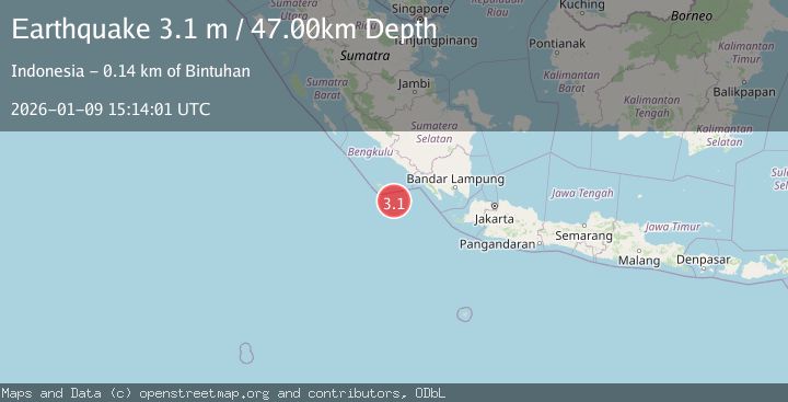
Earthquake SOUTHERN SUMATRA, INDONESIA
Fri, 09 Jan 2026 15:14:01 GMT
Time1 month ago
Location
-5.9800, 102.8300
Depth
47.0 KM
Event Summary
A 3.1 magnitude earthquake struck on SOUTHERN SUMATRA, INDONESIA, at Fri, 09 Jan 2026 15:14:01 GMT. Depth: 47km. Reviewed by BMKG seismologists, this minor quake occurred at a magnitude type of m.
Magnitude
3.1
m
Source
BMKG
Intensity
-
Agency Reports
1 Sources| Source | Magnitude | Depth | Time |
|---|---|---|---|
| BMKGPrimary | 3.1 | 47 km | 1 month ago |
Earthquake Details
AutomaticEvent IDemsc_BMKG_20260109_0000228
Tsunami PotentialNo
Magnitude Typem
Nearest Places
- Tanjung Kahoabi73.6 km
- Pulau Merbau74.0 km
- Pulau Bangkai75.5 km
- Teluk Kiowa75.5 km
- Pulaudua75.7 km
Comments
Join the discussion about this event.
Latest Earthquakes
2.0Mag
Kenai Peninsula, Alaska
Time2 minutes ago
Depth72.27 km
SourceVYT (Automatic)
2.0Mag
Central Alaska
Time6 minutes ago
Depth216.92 km
SourceVYT (Automatic)
1.8Mag
Region Metropolitana, Chile
Time9 minutes ago
Depth14.89 km
SourceVYT (Automatic)
5.0Mag
Kepulauan Aru region, Indonesia
Time10 minutes ago
Depth0.00 km
SourceVYT (Automatic)
2.5Mag
Poland
Time10 minutes ago
Depth0.24 km
SourceVYT (Automatic)
Nearby Earthquakes
5.0Mag
SOUTHWEST OF SUMATRA, INDONESIA
Time20 years ago
Depth40.00 km
SourceEMSC (Automatic)
5.3Mag
SOUTHERN SUMATRA, INDONESIA
Time1 year ago
Depth10.00 km
SourceEMSC (Automatic)
3.3Mag
SOUTHERN SUMATRA, INDONESIA
Time1 month ago
Depth20.00 km
SourceBMKG (Automatic)
5.5Mag
SOUTHERN SUMATRA, INDONESIA
Time5 years ago
Depth26.00 km
SourceEMSC (Automatic)
2.9Mag
Southwest of Sumatra, Indonesia
Time3 weeks ago
Depth94.33 km
SourceBMKG (Automatic)