Earthquake Southwest of Sumatra, Indonesia
Thu, 22 Jan 2026 19:59:14 GMT
Time4 days ago
Location
-6.0164, 102.9685
Depth
94.3 KM
Event Summary
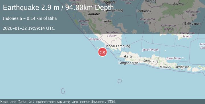
A 2.9 magnitude earthquake struck on Southwest of Sumatra, Indonesia, at Thu, 22 Jan 2026 19:59:14 GMT. Depth: 94.328308km. Reviewed by BMKG seismologists, this minor quake occurred at a magnitude type of M.
Magnitude
2.9
M
Source
BMKG
Intensity
-
Agency Reports
1 Sources| Source | Magnitude | Depth | Time |
|---|---|---|---|
| BMKGPrimary | 2.9 | 94 km | 4 days ago |
Earthquake Details
AutomaticEvent IDbmg2026bnxd
Tsunami PotentialNo
Magnitude TypeM
Nearest Places
- Enggano Basin86.4 km
- Tanjung Kahoabi87.3 km
- Pulau Merbau87.5 km
- Pulau Bangkai89.0 km
- Pulaudua89.0 km
Comments
Join the discussion about this event.
Latest Earthquakes
2.5Mag
Northern Sumatra, Indonesia
Time2 minutes ago
Depth5.00 km
SourceBMKG (Automatic)
2.4Mag
EASTERN TURKEY
Time12 minutes ago
Depth4.30 km
SourceKOERI (Automatic)
0.2Mag
6 km WNW of Cobb, CA
Time15 minutes ago
Depth1.56 km
SourceUSGS (Automatic)
1.6Mag
10 km SW of Furnace Creek, California
Time15 minutes ago
Depth7.46 km
SourceUSGS (Automatic)
1.4Mag
17 km NNE of Indio, CA
Time18 minutes ago
Depth3.80 km
SourceUSGS (Automatic)
Nearby Earthquakes
2.9Mag
SOUTHWEST OF SUMATRA, INDONESIA
Time4 days ago
Depth10.00 km
SourceBMKG (Automatic)
2.9Mag
Southern Sumatra, Indonesia
Time1 day ago
Depth22.12 km
SourceBMKG (Automatic)
2.7Mag
Southern Sumatra, Indonesia
Time3 days ago
Depth27.97 km
SourceBMKG (Automatic)
3.7Mag
Southwest of Sumatra, Indonesia
Time2 days ago
Depth3.70 km
SourceBMKG (Automatic)
2.7Mag
Sunda Strait, Indonesia
Time1 day ago
Depth26.51 km
SourceBMKG (Automatic)