Earthquake KEP. TANIMBAR REGION, INDONESIA
Fri, 09 Jan 2026 16:20:08 GMT
Time1 month ago
Location
-7.0000, 132.0800
Depth
104.0 KM
Event Summary
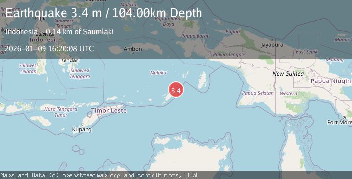
A 3.4 magnitude earthquake struck on KEP. TANIMBAR REGION, INDONESIA, at Fri, 09 Jan 2026 16:20:08 GMT. Depth: 104km. Reviewed by BMKG seismologists, this minor quake occurred at a magnitude type of m.
Magnitude
3.4
m
Source
BMKG
Intensity
-
Agency Reports
1 Sources| Source | Magnitude | Depth | Time |
|---|---|---|---|
| BMKGPrimary | 3.4 | 104 km | 1 month ago |
Earthquake Details
AutomaticEvent IDemsc_BMKG_20260109_0000249
Tsunami PotentialNo
Magnitude Typem
Nearest Places
- Tanjung Waarlangier8.1 km
- Watsira8.2 km
- Desa Adodo Fordata10.0 km
- Adodu11.5 km
- Desa Walerang12.7 km
Comments
Join the discussion about this event.
Latest Earthquakes
2.8Mag
West Papua Region, Indonesia
Time4 minutes ago
Depth34.12 km
SourceBMKG
3.6Mag
NORTHERN ALGERIA
Time11 minutes ago
Depth5.80 km
SourceIGN (Automatic)
2.6Mag
Java, Indonesia
Time14 minutes ago
Depth214.22 km
SourceBMKG
1.0Mag
Southeastern Alaska
Time15 minutes ago
Depth0.00 km
SourceVYT (Automatic)
3.5Mag
COOK STRAIT, NEW ZEALAND
Time16 minutes ago
Depth75.30 km
SourceGNS (Automatic)
Nearby Earthquakes
5.2Mag
Tanimbar Islands Region, Indonesia
Time2 weeks ago
Depth101.19 km
SourceBMKG (Automatic)
5.0Mag
KEP. TANIMBAR REGION, INDONESIA
Time12 years ago
Depth45.00 km
SourceEMSC (Automatic)
5.6Mag
KEP. TANIMBAR REGION, INDONESIA
Time9 years ago
Depth10.00 km
SourceEMSC (Automatic)
4.0Mag
KEP. TANIMBAR REGION, INDONESIA
Time2 years ago
Depth122.00 km
SourceDJA (Automatic)
5.1Mag
KEP. TANIMBAR REGION, INDONESIA
Time1 year ago
Depth10.00 km
SourceEMSC (Automatic)