Earthquake KEP. MENTAWAI REGION, INDONESIA
Fri, 09 Jan 2026 22:51:21 GMT
Time1 month ago
Location
-1.9300, 99.8400
Depth
10.0 KM
Event Summary
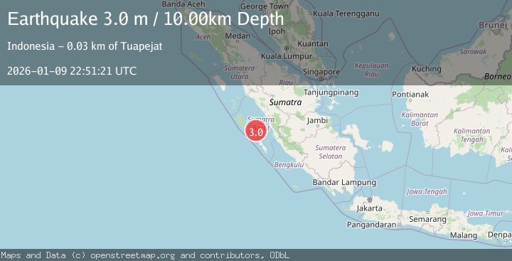
A 3.0 magnitude earthquake struck on KEP. MENTAWAI REGION, INDONESIA, at Fri, 09 Jan 2026 22:51:21 GMT. Depth: 10km. Reviewed by BMKG seismologists, this minor quake occurred at a magnitude type of m.
Magnitude
3.0
m
Source
BMKG
Intensity
-
Agency Reports
1 Sources| Source | Magnitude | Depth | Time |
|---|---|---|---|
| BMKGPrimary | 3.0 | 10 km | 1 month ago |
Earthquake Details
AutomaticEvent IDemsc_BMKG_20260109_0000337
Tsunami PotentialNo
Magnitude Typem
Nearest Places
- Rokot Airport23.5 km
- Tanjung Kaikeruaru23.6 km
- Sipogiri24.1 km
- Rokot24.1 km
- Tanjung Pugolangan24.4 km
Comments
Join the discussion about this event.
Latest Earthquakes
1.4Mag
Czech Republic
Time47 seconds ago
Depth0.00 km
SourceVYT (Automatic)
2.1Mag
Tarapaca, Chile
Time7 minutes ago
Depth8.18 km
SourceVYT (Automatic)
1.4Mag
12 km ESE of Olancha, CA
Time7 minutes ago
Depth7.15 km
SourceUSGS (Automatic)
2.8Mag
northwestern Russia
Time8 minutes ago
Depth10.00 km
SourceVYT (Automatic)
3.3Mag
Near North Coast of West Papua
Time8 minutes ago
Depth10.00 km
SourceBMKG
Nearby Earthquakes
3.0Mag
KEP. MENTAWAI REGION, INDONESIA
Time1 year ago
Depth28.00 km
SourceBMKG (Automatic)
5.7Mag
KEP. MENTAWAI REGION, INDONESIA
Time4 years ago
Depth27.00 km
SourceEMSC (Automatic)
6.0Mag
KEP. MENTAWAI REGION, INDONESIA
Time18 years ago
Depth51.00 km
SourceEMSC (Automatic)
5.2Mag
KEP. MENTAWAI REGION, INDONESIA
Time6 years ago
Depth40.00 km
SourceEMSC (Automatic)
5.4Mag
KEP. MENTAWAI REGION, INDONESIA
Time18 years ago
Depth10.00 km
SourceEMSC (Automatic)