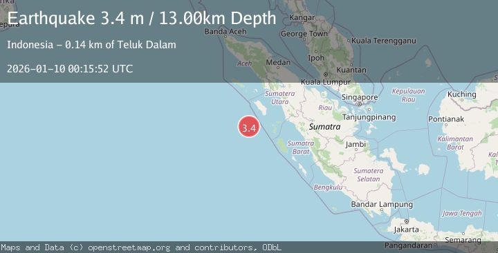
Earthquake SOUTHWEST OF SUMATRA, INDONESIA
Sat, 10 Jan 2026 00:15:52 GMT
Time1 month ago
Location
-0.1600, 96.8200
Depth
13.0 KM
Event Summary
A 3.4 magnitude earthquake struck on SOUTHWEST OF SUMATRA, INDONESIA, at Sat, 10 Jan 2026 00:15:52 GMT. Depth: 13km. Reviewed by BMKG seismologists, this minor quake occurred at a magnitude type of m.
Magnitude
3.4
m
Source
BMKG
Intensity
-
Agency Reports
1 Sources| Source | Magnitude | Depth | Time |
|---|---|---|---|
| BMKGPrimary | 3.4 | 13 km | 1 month ago |
Earthquake Details
AutomaticEvent IDemsc_BMKG_20260110_0000005
Tsunami PotentialNo
Magnitude Typem
Nearest Places
- Desa Silina114.6 km
- Desa Gobo Baru115.0 km
- Pulau Simuk116.5 km
- Desa Silina Baru116.6 km
- Kecamatan Simuk117.4 km
Comments
Join the discussion about this event.
Latest Earthquakes
3.2Mag
Alaska Peninsula
Time2 hours ago
Depth10.00 km
SourceVYT (Automatic)
4.3Mag
Southwest of Sumatra, Indonesia
Time2 hours ago
Depth11.58 km
SourceBMKG
5.0Mag
southwest of Sumatra, Indonesia
Time2 hours ago
Depth10.00 km
SourceVYT (Automatic)
3.3Mag
Jujuy, Argentina
Time2 hours ago
Depth295.78 km
SourceVYT (Automatic)
3.0Mag
Texas-Chihuahua border region
Time2 hours ago
Depth0.00 km
SourceVYT (Automatic)
Nearby Earthquakes
5.2Mag
SOUTHWEST OF SUMATRA, INDONESIA
Time7 years ago
Depth10.00 km
SourceEMSC (Automatic)
4.3Mag
Southwest of Sumatra, Indonesia
Time2 hours ago
Depth11.58 km
SourceBMKG
5.0Mag
SOUTHWEST OF SUMATRA, INDONESIA
Time4 years ago
Depth10.00 km
SourceNEIC (Automatic)
5.3Mag
NIAS REGION, INDONESIA
Time20 years ago
Depth33.00 km
SourceEMSC (Automatic)
5.4Mag
KEPULAUAN BATU, INDONESIA
Time20 years ago
Depth5.00 km
SourceEMSC (Automatic)