Earthquake NEAR N COAST OF PAPUA, INDONESIA
Sat, 10 Jan 2026 22:54:01 GMT
Time1 month ago
Location
-1.8800, 139.5900
Depth
10.0 KM
Event Summary
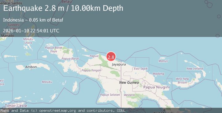
A 2.8 magnitude earthquake struck on NEAR N COAST OF PAPUA, INDONESIA, at Sat, 10 Jan 2026 22:54:01 GMT. Depth: 10km. Reviewed by BMKG seismologists, this minor quake occurred at a magnitude type of m.
Magnitude
2.8
m
Source
BMKG
Intensity
-
Agency Reports
1 Sources| Source | Magnitude | Depth | Time |
|---|---|---|---|
| BMKGPrimary | 2.8 | 10 km | 1 month ago |
Earthquake Details
AutomaticEvent IDemsc_BMKG_20260110_0000297
Tsunami PotentialNo
Magnitude Typem
Nearest Places
- Pulau Yarsun29.4 km
- Pulau Anus29.4 km
- Pulau Podena30.1 km
- Ansudu31.5 km
- Kepulauan Podena32.9 km
Comments
Join the discussion about this event.
Latest Earthquakes
2.6Mag
Minahasa, Sulawesi, Indonesia
Time2 minutes ago
Depth3.17 km
SourceVYT (Automatic)
2.6Mag
Antofagasta, Chile
Time3 minutes ago
Depth125.12 km
SourceVYT (Automatic)
1.3Mag
11 km WSW of Stanton, Texas
Time3 minutes ago
Depth4.19 km
SourceUSGS (Automatic)
0.8Mag
7 km NW of The Geysers, CA
Time7 minutes ago
Depth1.32 km
SourceUSGS (Automatic)
2.7Mag
San Juan, Argentina
Time11 minutes ago
Depth363.53 km
SourceVYT (Automatic)
Nearby Earthquakes
3.0Mag
NEAR N COAST OF PAPUA, INDONESIA
Time1 month ago
Depth13.00 km
SourceBMKG (Automatic)
2.5Mag
Near North Coast of West Papua
Time3 weeks ago
Depth10.00 km
SourceBMKG (Automatic)
3.5Mag
NEAR N COAST OF PAPUA, INDONESIA
Time1 month ago
Depth63.00 km
SourceBMKG (Automatic)
3.0Mag
NEAR N COAST OF PAPUA, INDONESIA
Time1 month ago
Depth14.00 km
SourceBMKG (Automatic)
2.6Mag
Near North Coast of West Papua
Time2 hours ago
Depth10.00 km
SourceBMKG