Earthquake NEAR N COAST OF PAPUA, INDONESIA
Sun, 11 Jan 2026 16:14:28 GMT
Time1 month ago
Location
-2.5800, 136.7300
Depth
25.0 KM
Event Summary
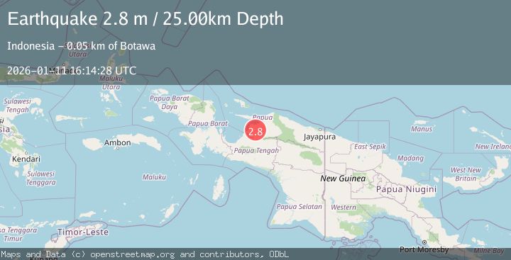
A 2.8 magnitude earthquake struck on NEAR N COAST OF PAPUA, INDONESIA, at Sun, 11 Jan 2026 16:14:28 GMT. Depth: 25km. Reviewed by BMKG seismologists, this minor quake occurred at a magnitude type of m.
Magnitude
2.8
m
Source
BMKG
Intensity
-
Agency Reports
1 Sources| Source | Magnitude | Depth | Time |
|---|---|---|---|
| BMKGPrimary | 2.8 | 25 km | 1 month ago |
Earthquake Details
AutomaticEvent IDemsc_BMKG_20260111_0000247
Tsunami PotentialNo
Magnitude Typem
Nearest Places
- Kampung Ghaiwaru2.8 km
- Kampung Waghare4.7 km
- Distrik Wonti6.0 km
- Kampung Ghoiwi Samberi6.6 km
- Kampung Wonti Kai9.1 km
Comments
Join the discussion about this event.
Latest Earthquakes
3.2Mag
AEGEAN SEA
Time21 hours ago
Depth5.00 km
SourceNOA (Automatic)
1.5Mag
7 km NW of The Geysers, CA
Time21 hours ago
Depth2.48 km
SourceUSGS (Automatic)
2.3Mag
WESTERN TURKEY
Time21 hours ago
Depth8.70 km
SourceKOERI (Automatic)
0.6Mag
6 km WNW of Cobb, CA
Time21 hours ago
Depth1.68 km
SourceUSGS (Automatic)
2.1Mag
Southern Alaska
Time21 hours ago
Depth27.59 km
SourceVYT (Automatic)
Nearby Earthquakes
3.6Mag
NEAR N COAST OF PAPUA, INDONESIA
Time1 month ago
Depth17.00 km
SourceBMKG (Automatic)
3.1Mag
West Papua Region, Indonesia
Time1 week ago
Depth49.15 km
SourceBMKG (Automatic)
3.0Mag
NEAR N COAST OF PAPUA, INDONESIA
Time2 months ago
Depth74.00 km
SourceBMKG (Automatic)
5.3Mag
NEAR N COAST OF PAPUA, INDONESIA
Time18 years ago
Depth10.00 km
SourceEMSC (Automatic)
2.8Mag
West Papua Region, Indonesia
Time2 weeks ago
Depth19.31 km
SourceBMKG (Automatic)