Earthquake MOLUCCA SEA
Mon, 12 Jan 2026 01:49:15 GMT
Time1 month ago
Location
1.2500, 126.0300
Depth
99.0 KM
Event Summary
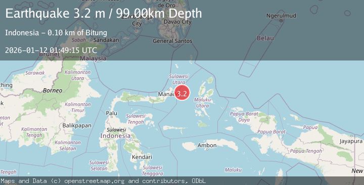
A 3.2 magnitude earthquake struck on MOLUCCA SEA, at Mon, 12 Jan 2026 01:49:15 GMT. Depth: 99km. Reviewed by BMKG seismologists, this minor quake occurred at a magnitude type of m.
Magnitude
3.2
m
Source
BMKG
Intensity
-
Agency Reports
1 Sources| Source | Magnitude | Depth | Time |
|---|---|---|---|
| BMKGPrimary | 3.2 | 99 km | 1 month ago |
Earthquake Details
AutomaticEvent IDemsc_BMKG_20260112_0000031
Tsunami PotentialNo
Magnitude Typem
Nearest Places
- Pulau Gureda32.0 km
- Kelurahan Pantai Sagu32.5 km
- Pulau Tifore33.1 km
- Kelurahan Tifure33.8 km
- Kelurahan Perum Bersatu37.5 km
Comments
Join the discussion about this event.
Latest Earthquakes
0.9Mag
31 km SSE of Glacier View, Alaska
Time2 minutes ago
Depth37.70 km
SourceUSGS (Automatic)
1.8Mag
50 km W of Mentone, Texas
Time5 minutes ago
Depth3.75 km
SourceUSGS (Automatic)
0.9Mag
81 km NNW of Karluk, Alaska
Time11 minutes ago
Depth34.10 km
SourceUSGS (Automatic)
1.5Mag
Tarapaca, Chile
Time20 minutes ago
Depth32.84 km
SourceVYT (Automatic)
2.4Mag
Potosi, Bolivia
Time24 minutes ago
Depth239.01 km
SourceVYT (Automatic)
Nearby Earthquakes
3.0Mag
MOLUCCA SEA
Time2 years ago
Depth59.00 km
SourceDJA (Automatic)
2.9Mag
Northern Molucca Sea
Time2 weeks ago
Depth26.98 km
SourceBMKG (Automatic)
3.0Mag
MOLUCCA SEA
Time4 months ago
Depth26.00 km
SourceBMKG (Automatic)
2.6Mag
MOLUCCA SEA
Time1 month ago
Depth1.00 km
SourceBMKG (Automatic)
3.0Mag
MOLUCCA SEA
Time4 months ago
Depth24.00 km
SourceBMKG (Automatic)