Earthquake SOUTHWEST OF SUMATRA, INDONESIA
Mon, 12 Jan 2026 10:21:17 GMT
Time1 month ago
Location
-5.3300, 101.6800
Depth
18.0 KM
Event Summary
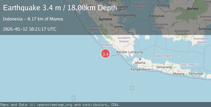
A 3.4 magnitude earthquake struck on SOUTHWEST OF SUMATRA, INDONESIA, at Mon, 12 Jan 2026 10:21:17 GMT. Depth: 18km. Reviewed by BMKG seismologists, this minor quake occurred at a magnitude type of m.
Magnitude
3.4
m
Source
BMKG
Intensity
-
Agency Reports
1 Sources| Source | Magnitude | Depth | Time |
|---|---|---|---|
| BMKGPrimary | 3.4 | 18 km | 1 month ago |
Earthquake Details
AutomaticEvent IDemsc_BMKG_20260112_0000153
Tsunami PotentialNo
Magnitude Typem
Nearest Places
- Tanjung Kooma47.1 km
- Gunung Dupaaube49.7 km
- Desa Banjar Sari50.9 km
- Batang Mea52.0 km
- Sungai Hubaje53.0 km
Comments
Join the discussion about this event.
Latest Earthquakes
4.5Mag
North of Halmahera, Indonesia
Time9 minutes ago
Depth10.00 km
SourceBMKG
4.1Mag
WESTERN XIZANG
Time10 minutes ago
Depth188.80 km
SourceNDI (Automatic)
3.1Mag
Bali Region, Indonesia
Time15 minutes ago
Depth19.14 km
SourceBMKG
2.7Mag
Coquimbo, Chile
Time17 minutes ago
Depth14.16 km
SourceVYT (Automatic)
1.7Mag
Southeastern Alaska
Time19 minutes ago
Depth5.98 km
SourceVYT (Automatic)
Nearby Earthquakes
5.1Mag
SOUTHWEST OF SUMATRA, INDONESIA
Time20 years ago
Depth33.00 km
SourceEMSC (Automatic)
5.8Mag
SOUTHWEST OF SUMATRA, INDONESIA
Time16 years ago
Depth10.00 km
SourceEMSC (Automatic)
4.0Mag
SOUTHWEST OF SUMATRA, INDONESIA
Time3 years ago
Depth15.00 km
SourceDJA (Automatic)
5.5Mag
SOUTHWEST OF SUMATRA, INDONESIA
Time19 years ago
Depth33.00 km
SourceEMSC (Automatic)
4.1Mag
SOUTHWEST OF SUMATRA, INDONESIA
Time2 weeks ago
Depth30.00 km
SourceBMKG (Automatic)