Earthquake NEAR N COAST OF PAPUA, INDONESIA
Mon, 12 Jan 2026 13:01:06 GMT
Time1 month ago
Location
-0.7200, 133.8400
Depth
13.0 KM
Event Summary
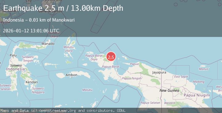
A 2.5 magnitude earthquake struck on NEAR N COAST OF PAPUA, INDONESIA, at Mon, 12 Jan 2026 13:01:06 GMT. Depth: 13km. Reviewed by BMKG seismologists, this minor quake occurred at a magnitude type of m.
Magnitude
2.5
m
Source
BMKG
Intensity
-
Agency Reports
1 Sources| Source | Magnitude | Depth | Time |
|---|---|---|---|
| BMKGPrimary | 2.5 | 13 km | 1 month ago |
Earthquake Details
AutomaticEvent IDemsc_BMKG_20260112_0000188
Tsunami PotentialNo
Magnitude Typem
Nearest Places
- Befoor3.3 km
- Sungai Prati3.5 km
- Sungai Musuakaing4.2 km
- Kampung Sibuni5.3 km
- Kampung Warbefor5.4 km
Comments
Join the discussion about this event.
Latest Earthquakes
1.6Mag
Java, Indonesia
Time2 minutes ago
Depth0.24 km
SourceVYT (Automatic)
2.4Mag
western Texas
Time3 minutes ago
Depth22.83 km
SourceVYT (Automatic)
3.7Mag
Fox Islands, Aleutian Islands, Alaska
Time5 minutes ago
Depth11.96 km
SourceVYT (Automatic)
2.7Mag
Timor Region
Time8 minutes ago
Depth14.44 km
SourceBMKG
2.2Mag
Halmahera, Indonesia
Time10 minutes ago
Depth4.36 km
SourceBMKG
Nearby Earthquakes
3.0Mag
NEAR N COAST OF PAPUA, INDONESIA
Time11 months ago
Depth10.00 km
SourceBMKG (Automatic)
2.2Mag
West Papua Region, Indonesia
Time3 weeks ago
Depth7.51 km
SourceBMKG (Automatic)
5.2Mag
NEAR N COAST OF PAPUA, INDONESIA
Time17 years ago
Depth10.00 km
SourceEMSC (Automatic)
2.7Mag
NEAR N COAST OF PAPUA, INDONESIA
Time1 month ago
Depth10.00 km
SourceBMKG (Automatic)
5.0Mag
NEAR N COAST OF PAPUA, INDONESIA
Time17 years ago
Depth40.00 km
SourceEMSC (Automatic)