Earthquake NEAR N COAST OF PAPUA, INDONESIA
Fri, 09 Jan 2009 14:35:18 GMT
Time17 years ago
Location
-0.6800, 133.8700
Depth
10.0 KM
Event Summary
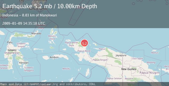
A 5.2 magnitude earthquake struck on NEAR N COAST OF PAPUA, INDONESIA, at Fri, 09 Jan 2009 14:35:18 GMT. Depth: 10km. Reviewed by EMSC seismologists, this moderate quake occurred at a magnitude type of mb.
Magnitude
5.2
mb
Source
EMSC
Intensity
-
Agency Reports
1 Sources| Source | Magnitude | Depth | Time |
|---|---|---|---|
| EMSCPrimary | 5.2 | 10 km | 17 years ago |
Earthquake Details
AutomaticEvent IDemsc_EMSC_20090109_0000074
Tsunami PotentialNo
Magnitude Typemb
Nearest Places
- Befoor5.9 km
- Kampung Meyes6.7 km
- Kampung Teluk Mubri8.0 km
- Sungai Prati9.1 km
- Kampung Inyei9.4 km
Comments
Join the discussion about this event.
Latest Earthquakes
2.4Mag
western Texas
Time1 minute ago
Depth22.83 km
SourceVYT (Automatic)
3.7Mag
Fox Islands, Aleutian Islands, Alaska
Time2 minutes ago
Depth11.96 km
SourceVYT (Automatic)
2.7Mag
Timor Region
Time5 minutes ago
Depth14.44 km
SourceBMKG
2.2Mag
Halmahera, Indonesia
Time8 minutes ago
Depth4.36 km
SourceBMKG
2.0Mag
Central Alaska
Time12 minutes ago
Depth65.43 km
SourceVYT (Automatic)
Nearby Earthquakes
2.5Mag
NEAR N COAST OF PAPUA, INDONESIA
Time1 month ago
Depth13.00 km
SourceBMKG (Automatic)
5.0Mag
NEAR N COAST OF PAPUA, INDONESIA
Time17 years ago
Depth40.00 km
SourceEMSC (Automatic)
3.0Mag
NEAR N COAST OF PAPUA, INDONESIA
Time4 years ago
Depth10.00 km
SourceDJA (Automatic)
2.2Mag
West Papua Region, Indonesia
Time3 weeks ago
Depth7.51 km
SourceBMKG (Automatic)
3.0Mag
NEAR N COAST OF PAPUA, INDONESIA
Time11 months ago
Depth10.00 km
SourceBMKG (Automatic)