Earthquake MOLUCCA SEA
Tue, 13 Jan 2026 03:48:02 GMT
Time1 month ago
Location
2.8900, 126.6500
Depth
7.0 KM
Event Summary
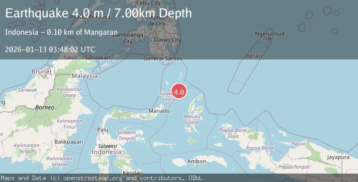
A 4.0 magnitude earthquake struck on MOLUCCA SEA, at Tue, 13 Jan 2026 03:48:02 GMT. Depth: 7km. Reviewed by BMKG seismologists, this light quake occurred at a magnitude type of m.
Magnitude
4.0
m
Source
BMKG
Intensity
-
Agency Reports
1 Sources| Source | Magnitude | Depth | Time |
|---|---|---|---|
| BMKGPrimary | 4.0 | 7 km | 1 month ago |
Earthquake Details
AutomaticEvent IDemsc_BMKG_20260113_0000056
Tsunami PotentialNo
Magnitude Typem
Nearest Places
- Pulau Napumbalu86.5 km
- Tanjung Pallo95.2 km
- Taduwale96.1 km
- Tanjung Panii96.3 km
- Peret96.4 km
Comments
Join the discussion about this event.
Latest Earthquakes
1.7Mag
Southeastern Alaska
Time15 hours ago
Depth26.25 km
SourceVYT (Automatic)
5.7Mag
Minahasa, Sulawesi, Indonesia
Time16 hours ago
Depth31.98 km
SourceVYT (Automatic)
1.4Mag
Southern Alaska
Time16 hours ago
Depth24.41 km
SourceVYT (Automatic)
1.9Mag
Southeastern Alaska
Time16 hours ago
Depth0.00 km
SourceVYT (Automatic)
1.2Mag
Southern Alaska
Time16 hours ago
Depth77.51 km
SourceVYT (Automatic)
Nearby Earthquakes
5.2Mag
MOLUCCA SEA
Time1 month ago
Depth15.00 km
SourceBMKG (Automatic)
4.0Mag
MOLUCCA SEA
Time4 years ago
Depth66.00 km
SourceNEIC (Automatic)
3.0Mag
MOLUCCA SEA
Time4 years ago
Depth10.00 km
SourceDJA (Automatic)
5.1Mag
MOLUCCA SEA
Time11 months ago
Depth58.30 km
SourceEMSC (Automatic)
6.3Mag
MOLUCCA SEA
Time4 years ago
Depth60.00 km
SourceEMSC (Automatic)