Earthquake NORTHERN SUMATRA, INDONESIA
Tue, 13 Jan 2026 17:28:26 GMT
Time1 month ago
Location
4.7200, 96.7800
Depth
6.0 KM
Event Summary
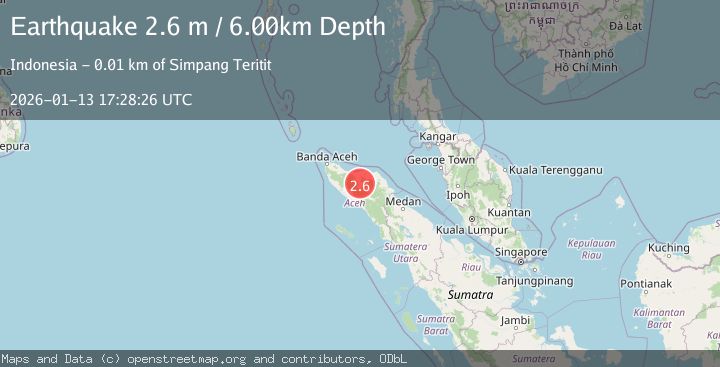
A 2.6 magnitude earthquake struck on NORTHERN SUMATRA, INDONESIA, at Tue, 13 Jan 2026 17:28:26 GMT. Depth: 6km. Reviewed by BMKG seismologists, this minor quake occurred at a magnitude type of m.
Magnitude
2.6
m
Source
BMKG
Intensity
-
Agency Reports
1 Sources| Source | Magnitude | Depth | Time |
|---|---|---|---|
| BMKGPrimary | 2.6 | 6 km | 1 month ago |
Earthquake Details
AutomaticEvent IDemsc_BMKG_20260113_0000256
Tsunami PotentialNo
Magnitude Typem
Nearest Places
- Lukup Sabun Bawah0.3 km
- Gampong Simpang Antara0.4 km
- Uteumputo0.6 km
- Waihni Balek0.6 km
- Gampong Bener Ayu0.9 km
Comments
Join the discussion about this event.
Latest Earthquakes
3.0Mag
Java, Indonesia
Time3 minutes ago
Depth29.78 km
SourceBMKG
2.4Mag
Finland-Russia border region
Time4 minutes ago
Depth341.92 km
SourceVYT (Automatic)
0.9Mag
8 km W of Cobb, CA
Time9 minutes ago
Depth1.53 km
SourceUSGS (Automatic)
1.8Mag
Central Alaska
Time11 minutes ago
Depth2.08 km
SourceVYT (Automatic)
2.9Mag
WESTERN TURKEY
Time14 minutes ago
Depth11.80 km
SourceKOERI (Automatic)
Nearby Earthquakes
3.0Mag
NORTHERN SUMATRA, INDONESIA
Time1 month ago
Depth4.00 km
SourceBMKG (Automatic)
3.0Mag
NORTHERN SUMATRA, INDONESIA
Time1 month ago
Depth5.00 km
SourceBMKG (Automatic)
3.0Mag
NORTHERN SUMATRA, INDONESIA
Time1 month ago
Depth10.00 km
SourceBMKG (Automatic)
2.5Mag
Northern Sumatra, Indonesia
Time1 day ago
Depth10.00 km
SourceBMKG
3.7Mag
Northern Sumatra, Indonesia
Time2 weeks ago
Depth5.47 km
SourceBMKG (Automatic)