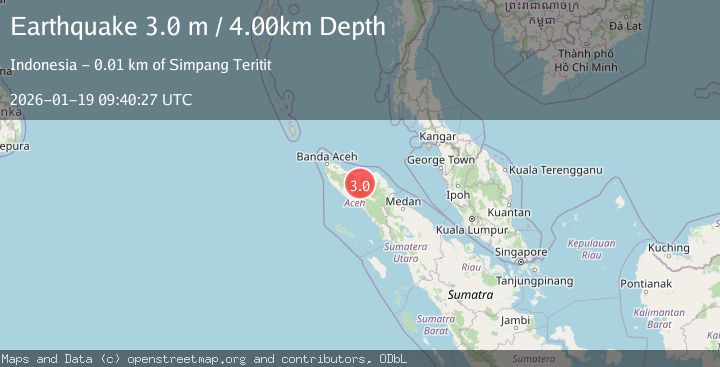
Earthquake NORTHERN SUMATRA, INDONESIA
Mon, 19 Jan 2026 09:40:27 GMT
Time1 month ago
Location
4.7200, 96.7800
Depth
4.0 KM
Event Summary
A 3.0 magnitude earthquake struck on NORTHERN SUMATRA, INDONESIA, at Mon, 19 Jan 2026 09:40:27 GMT. Depth: 4km. Reviewed by BMKG seismologists, this minor quake occurred at a magnitude type of m.
Magnitude
3.0
m
Source
BMKG
Intensity
-
Agency Reports
1 Sources| Source | Magnitude | Depth | Time |
|---|---|---|---|
| BMKGPrimary | 3.0 | 4 km | 1 month ago |
Earthquake Details
AutomaticEvent IDemsc_BMKG_20260119_0000106
Tsunami PotentialNo
Magnitude Typem
Nearest Places
- Lukup Sabun Bawah0.3 km
- Gampong Simpang Antara0.4 km
- Uteumputo0.6 km
- Waihni Balek0.6 km
- Gampong Bener Ayu0.9 km
Comments
Join the discussion about this event.
Latest Earthquakes
2.8Mag
Sunda Strait, Indonesia
Time7 minutes ago
Depth3.61 km
SourceBMKG
3.6Mag
south of Alaska
Time8 minutes ago
Depth10.00 km
SourceVYT (Automatic)
1.2Mag
Central Alaska
Time10 minutes ago
Depth68.97 km
SourceVYT (Automatic)
1.2Mag
Washington
Time12 minutes ago
Depth0.00 km
SourceVYT (Automatic)
0.8Mag
10 km WNW of The Geysers, CA
Time18 minutes ago
Depth1.96 km
SourceUSGS (Automatic)
Nearby Earthquakes
2.6Mag
NORTHERN SUMATRA, INDONESIA
Time1 month ago
Depth6.00 km
SourceBMKG (Automatic)
3.0Mag
NORTHERN SUMATRA, INDONESIA
Time1 month ago
Depth5.00 km
SourceBMKG (Automatic)
3.0Mag
NORTHERN SUMATRA, INDONESIA
Time1 month ago
Depth10.00 km
SourceBMKG (Automatic)
2.5Mag
Northern Sumatra, Indonesia
Time1 day ago
Depth10.00 km
SourceBMKG
3.7Mag
Northern Sumatra, Indonesia
Time2 weeks ago
Depth5.47 km
SourceBMKG (Automatic)