Earthquake NEAR N COAST OF PAPUA, INDONESIA
Wed, 14 Jan 2026 00:59:47 GMT
Time1 month ago
Location
-1.8200, 138.9700
Depth
10.0 KM
Event Summary
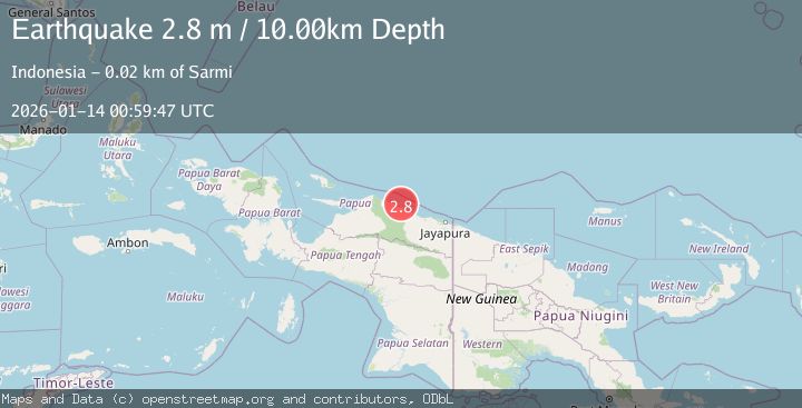
A 2.8 magnitude earthquake struck on NEAR N COAST OF PAPUA, INDONESIA, at Wed, 14 Jan 2026 00:59:47 GMT. Depth: 10km. Reviewed by BMKG seismologists, this minor quake occurred at a magnitude type of m.
Magnitude
2.8
m
Source
BMKG
Intensity
-
Agency Reports
1 Sources| Source | Magnitude | Depth | Time |
|---|---|---|---|
| BMKGPrimary | 2.8 | 10 km | 1 month ago |
Earthquake Details
AutomaticEvent IDemsc_BMKG_20260114_0000008
Tsunami PotentialNo
Magnitude Typem
Nearest Places
- Wakde13.6 km
- Pulau Insumoar13.7 km
- Pulau-pulau Wakde14.0 km
- Insumanai14.8 km
- Air Tementu16.6 km
Comments
Join the discussion about this event.
Latest Earthquakes
0.7Mag
8 km NW of The Geysers, CA
Time7 minutes ago
Depth1.59 km
SourceUSGS (Automatic)
1.2Mag
Southern Alaska
Time8 minutes ago
Depth16.72 km
SourceVYT (Automatic)
1.6Mag
49 km W of Mentone, Texas
Time8 minutes ago
Depth4.59 km
SourceUSGS (Automatic)
3.1Mag
northern Colombia
Time10 minutes ago
Depth219.97 km
SourceVYT (Automatic)
2.2Mag
Sumbawa Region, Indonesia
Time12 minutes ago
Depth15.54 km
SourceBMKG
Nearby Earthquakes
4.0Mag
NEAR N COAST OF PAPUA, INDONESIA
Time1 year ago
Depth21.00 km
SourceBMKG (Automatic)
4.0Mag
NEAR N COAST OF PAPUA, INDONESIA
Time5 months ago
Depth10.00 km
SourceBMKG (Automatic)
3.0Mag
NEAR N COAST OF PAPUA, INDONESIA
Time3 months ago
Depth10.00 km
SourceBMKG (Automatic)
3.0Mag
NEAR N COAST OF PAPUA, INDONESIA
Time6 months ago
Depth10.00 km
SourceBMKG (Automatic)
4.0Mag
NEAR N COAST OF PAPUA, INDONESIA
Time4 months ago
Depth25.00 km
SourceBMKG (Automatic)