Earthquake SOUTHERN SUMATRA, INDONESIA
Fri, 16 Jan 2026 17:33:31 GMT
Time1 month ago
Location
-1.4100, 100.3400
Depth
44.0 KM
Event Summary
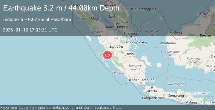
A 3.2 magnitude earthquake struck on SOUTHERN SUMATRA, INDONESIA, at Fri, 16 Jan 2026 17:33:31 GMT. Depth: 44km. Reviewed by BMKG seismologists, this minor quake occurred at a magnitude type of m.
Magnitude
3.2
m
Source
BMKG
Intensity
-
Agency Reports
1 Sources| Source | Magnitude | Depth | Time |
|---|---|---|---|
| BMKGPrimary | 3.2 | 44 km | 1 month ago |
Earthquake Details
AutomaticEvent IDemsc_BMKG_20260116_0000308
Tsunami PotentialNo
Magnitude Typem
Nearest Places
- Pulau Kumbang14.8 km
- Pulau Panyu15.8 km
- Pulau Aurgadang16.4 km
- Pulau Nibung16.5 km
- rantaukasai16.6 km
Comments
Join the discussion about this event.
Latest Earthquakes
1.3Mag
29 km W of Garden City, Texas
Time6 minutes ago
Depth3.35 km
SourceUSGS (Automatic)
2.1Mag
6 km NE of Beaverdam, Nevada
Time7 minutes ago
Depth11.45 km
SourceUSGS (Automatic)
3.4Mag
NORTH ISLAND OF NEW ZEALAND
Time14 minutes ago
Depth146.90 km
SourceGNS (Automatic)
2.6Mag
WESTERN TURKEY
Time20 minutes ago
Depth7.30 km
SourceKOERI (Automatic)
3.7Mag
YUNNAN, CHINA
Time21 minutes ago
Depth10.00 km
SourceTSB (Automatic)
Nearby Earthquakes
3.0Mag
SOUTHERN SUMATRA, INDONESIA
Time4 years ago
Depth10.00 km
SourceDJA (Automatic)
5.6Mag
SOUTHERN SUMATRA, INDONESIA
Time13 years ago
Depth10.00 km
SourceEMSC (Automatic)
5.2Mag
SOUTHERN SUMATRA, INDONESIA
Time18 years ago
Depth60.00 km
SourceEMSC (Automatic)
5.5Mag
SOUTHERN SUMATRA, INDONESIA
Time9 years ago
Depth73.00 km
SourceEMSC (Automatic)
5.3Mag
SOUTHERN SUMATRA, INDONESIA
Time18 years ago
Depth40.00 km
SourceEMSC (Automatic)