Earthquake SOUTHERN SUMATRA, INDONESIA
Wed, 06 Feb 2013 22:12:18 GMT
Time13 years ago
Location
-1.4900, 100.2400
Depth
10.0 KM
Event Summary
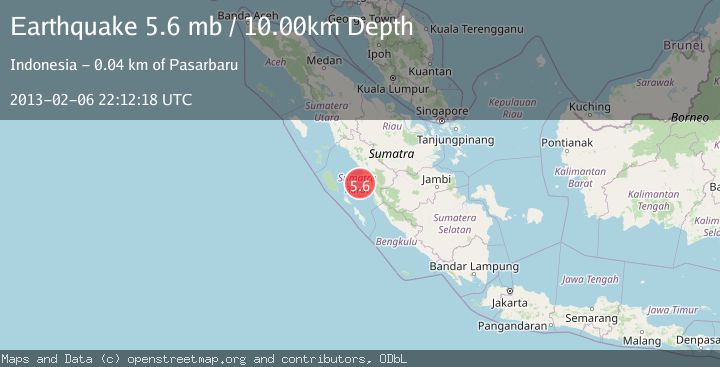
A 5.6 magnitude earthquake struck on SOUTHERN SUMATRA, INDONESIA, at Wed, 06 Feb 2013 22:12:18 GMT. Depth: 10km. Reviewed by EMSC seismologists, this moderate quake occurred at a magnitude type of mb.
Magnitude
5.6
mb
Source
EMSC
Intensity
-
Agency Reports
1 Sources| Source | Magnitude | Depth | Time |
|---|---|---|---|
| EMSCPrimary | 5.6 | 10 km | 13 years ago |
Earthquake Details
AutomaticEvent IDemsc_EMSC_20130206_0000152
Tsunami PotentialNo
Magnitude Typemb
Nearest Places
- Pulau Panyu23.4 km
- Pulau Nyamuk25.6 km
- Pulau Kumbang29.0 km
- Pulau Aurkacik29.2 km
- Pulau Aurgadang29.5 km
Comments
Join the discussion about this event.
Latest Earthquakes
2.3Mag
Antofagasta, Chile
Time1 hour ago
Depth58.47 km
SourceVYT (Automatic)
1.4Mag
Southeastern Alaska
Time1 hour ago
Depth0.00 km
SourceVYT (Automatic)
1.8Mag
Southern Alaska
Time1 hour ago
Depth10.00 km
SourceVYT (Automatic)
2.0Mag
Southern Alaska
Time1 hour ago
Depth29.91 km
SourceVYT (Automatic)
2.6Mag
WESTERN TURKEY
Time1 hour ago
Depth5.00 km
SourceKOERI (Automatic)
Nearby Earthquakes
5.3Mag
SOUTHERN SUMATRA, INDONESIA
Time18 years ago
Depth40.00 km
SourceEMSC (Automatic)
3.2Mag
SOUTHERN SUMATRA, INDONESIA
Time1 month ago
Depth44.00 km
SourceBMKG (Automatic)
5.0Mag
SOUTHERN SUMATRA, INDONESIA
Time20 years ago
Depth33.00 km
SourceEMSC (Automatic)
3.0Mag
SOUTHERN SUMATRA, INDONESIA
Time2 years ago
Depth21.00 km
SourceDJA (Automatic)
3.0Mag
SOUTHERN SUMATRA, INDONESIA
Time6 months ago
Depth26.00 km
SourceBMKG (Automatic)