Earthquake MOLUCCA SEA
Sat, 17 Jan 2026 16:20:21 GMT
Time1 month ago
Location
1.7500, 125.4900
Depth
89.0 KM
Event Summary
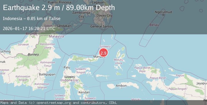
A 2.9 magnitude earthquake struck on MOLUCCA SEA, at Sat, 17 Jan 2026 16:20:21 GMT. Depth: 89km. Reviewed by BMKG seismologists, this minor quake occurred at a magnitude type of m.
Magnitude
2.9
m
Source
BMKG
Intensity
-
Agency Reports
1 Sources| Source | Magnitude | Depth | Time |
|---|---|---|---|
| BMKGPrimary | 2.9 | 89 km | 1 month ago |
Earthquake Details
AutomaticEvent IDemsc_BMKG_20260117_0000185
Tsunami PotentialNo
Magnitude Typem
Nearest Places
- Batu Kapal30.5 km
- Pulau Batukapal30.8 km
- Tanjung Batukapal31.3 km
- Labuan Lirang31.8 km
- Tanjung Lirang31.9 km
Comments
Join the discussion about this event.
Latest Earthquakes
1.8Mag
Region Metropolitana, Chile
Time13 hours ago
Depth14.89 km
SourceVYT (Automatic)
5.0Mag
Kepulauan Aru region, Indonesia
Time13 hours ago
Depth0.00 km
SourceVYT (Automatic)
2.5Mag
Poland
Time13 hours ago
Depth0.24 km
SourceVYT (Automatic)
1.2Mag
7 km SE of Winchester, CA
Time13 hours ago
Depth11.41 km
SourceUSGS (Automatic)
2.1Mag
Region Metropolitana, Chile
Time13 hours ago
Depth10.00 km
SourceVYT (Automatic)
Nearby Earthquakes
4.3Mag
MOLUCCA SEA
Time0 months ago
Depth10.00 km
SourceBMKG (Automatic)
5.0Mag
MOLUCCA SEA
Time9 years ago
Depth125.00 km
SourceEMSC (Automatic)
4.0Mag
MOLUCCA SEA
Time2 years ago
Depth73.00 km
SourceDJA (Automatic)
3.3Mag
Northern Molucca Sea
Time2 weeks ago
Depth26.07 km
SourceBMKG (Automatic)
4.0Mag
MOLUCCA SEA
Time2 years ago
Depth96.00 km
SourceBMKG (Automatic)