Earthquake SUNDA STRAIT, INDONESIA
Sat, 17 Jan 2026 16:31:24 GMT
Time1 month ago
Location
-6.7100, 105.0100
Depth
10.0 KM
Event Summary
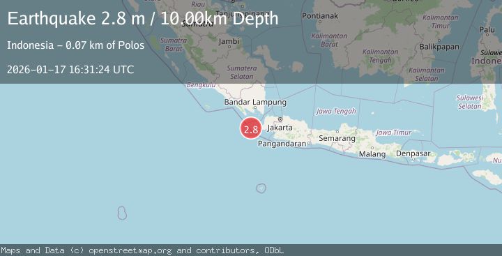
A 2.8 magnitude earthquake struck on SUNDA STRAIT, INDONESIA, at Sat, 17 Jan 2026 16:31:24 GMT. Depth: 10km. Reviewed by BMKG seismologists, this minor quake occurred at a magnitude type of m.
Magnitude
2.8
m
Source
BMKG
Intensity
-
Agency Reports
1 Sources| Source | Magnitude | Depth | Time |
|---|---|---|---|
| BMKGPrimary | 2.8 | 10 km | 1 month ago |
Earthquake Details
AutomaticEvent IDemsc_BMKG_20260117_0000187
Tsunami PotentialNo
Magnitude Typem
Nearest Places
- Pulau Waton14.4 km
- Legon Mandar14.4 km
- Tanjung Waton15.7 km
- Ci Panaitan15.8 km
- Pulau Karangjajar17.6 km
Comments
Join the discussion about this event.
Latest Earthquakes
3.7Mag
offshore Coquimbo, Chile
Time1 minute ago
Depth0.00 km
SourceVYT (Automatic)
1.4Mag
EASTERN TURKEY
Time10 minutes ago
Depth6.80 km
SourceAFAD (Automatic)
1.9Mag
6 km SW of Fuig, Puerto Rico
Time10 minutes ago
Depth13.76 km
SourceUSGS
1.7Mag
northern Alaska
Time11 minutes ago
Depth4.64 km
SourceVYT (Automatic)
1.2Mag
5 km WNW of The Geysers, CA
Time16 minutes ago
Depth3.19 km
SourceUSGS (Automatic)
Nearby Earthquakes
2.7Mag
Sunda Strait, Indonesia
Time6 days ago
Depth1.67 km
SourceBMKG
2.8Mag
SUNDA STRAIT, INDONESIA
Time1 month ago
Depth10.00 km
SourceBMKG (Automatic)
3.0Mag
SUNDA STRAIT, INDONESIA
Time2 months ago
Depth13.00 km
SourceBMKG (Automatic)
5.3Mag
SUNDA STRAIT, INDONESIA
Time18 years ago
Depth60.00 km
SourceEMSC (Automatic)
5.1Mag
SUNDA STRAIT, INDONESIA
Time7 years ago
Depth60.00 km
SourceEMSC (Automatic)