Earthquake SUNDA STRAIT, INDONESIA
Mon, 29 Oct 2018 21:11:20 GMT
Time7 years ago
Location
-6.7000, 105.1200
Depth
60.0 KM
Event Summary
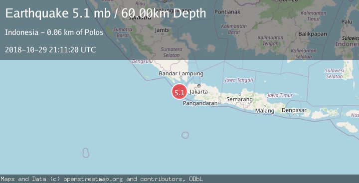
A 5.1 magnitude earthquake struck on SUNDA STRAIT, INDONESIA, at Mon, 29 Oct 2018 21:11:20 GMT. Depth: 60km. Reviewed by EMSC seismologists, this moderate quake occurred at a magnitude type of mb.
Magnitude
5.1
mb
Source
EMSC
Intensity
-
Agency Reports
1 Sources| Source | Magnitude | Depth | Time |
|---|---|---|---|
| EMSCPrimary | 5.1 | 60 km | 7 years ago |
Earthquake Details
AutomaticEvent IDemsc_EMSC_20181029_0000123
Tsunami PotentialNo
Magnitude Typemb
Nearest Places
- Pulau Karangjajar5.5 km
- Tanjung Karangburung6.3 km
- Tanjung Karangjajar6.3 km
- Pulau Batuputih7.9 km
- Tanjung Waton9.3 km
Comments
Join the discussion about this event.
Latest Earthquakes
2.2Mag
OKLAHOMA
Time2 minutes ago
Depth3.40 km
SourceOK (Automatic)
1.6Mag
Southern Alaska
Time15 minutes ago
Depth48.58 km
SourceVYT (Automatic)
2.2Mag
PUERTO RICO
Time16 minutes ago
Depth13.80 km
SourcePR (Automatic)
2.3Mag
Antofagasta, Chile
Time17 minutes ago
Depth82.15 km
SourceVYT (Automatic)
2.1Mag
Southern Alaska
Time20 minutes ago
Depth64.21 km
SourceVYT (Automatic)
Nearby Earthquakes
5.2Mag
SUNDA STRAIT, INDONESIA
Time15 years ago
Depth34.00 km
SourceEMSC (Automatic)
4.0Mag
SUNDA STRAIT, INDONESIA
Time2 years ago
Depth10.00 km
SourceBMKG (Automatic)
2.7Mag
Sunda Strait, Indonesia
Time6 days ago
Depth1.67 km
SourceBMKG
3.0Mag
SUNDA STRAIT, INDONESIA
Time2 months ago
Depth13.00 km
SourceBMKG (Automatic)
3.0Mag
SUNDA STRAIT, INDONESIA
Time1 month ago
Depth14.00 km
SourceBMKG (Automatic)